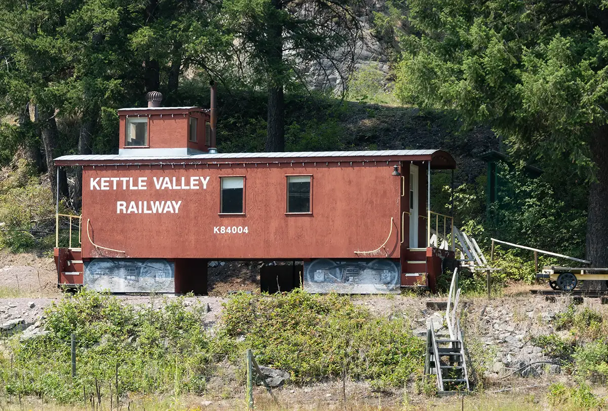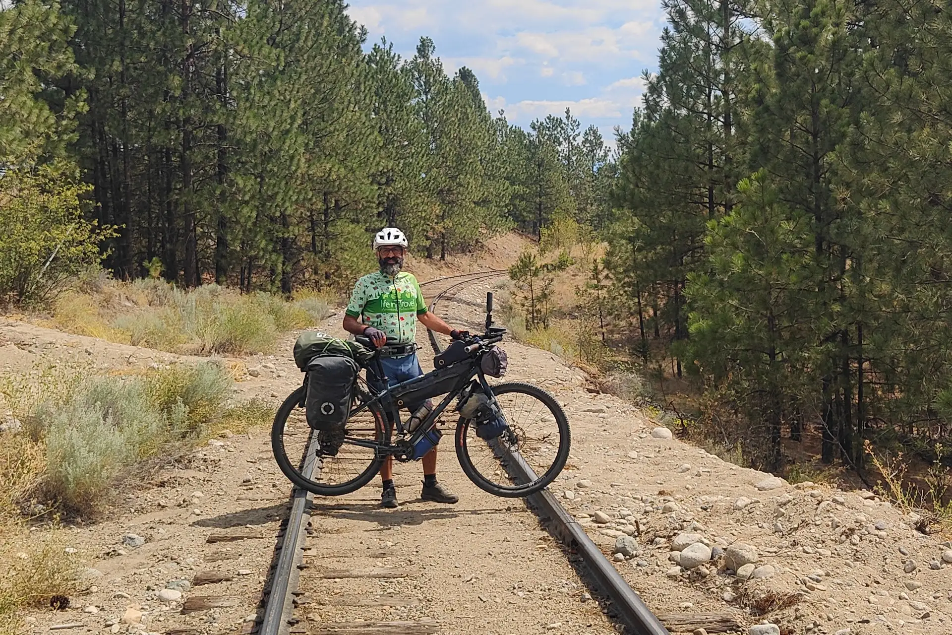
During our weeks of summer travel in Canada, we cycled two different routes, and the first one we completed is that of an old railway—the Kettle Valley Railway—now decommissioned and turned into a trail for hikers, cyclists, and horse riders. Let's find out what it's all about.
The track you find here refers only to the actual KVR section from Princeton to Midway, whereas if you want to download our route starting from Vancouver, you can find it in the Wild West travel diary (in Italian).
In this article
Kettle Valley Railway Trail and Beyond
The Kettle Valley Rail Trail (KVR) is not an isolated work; rather, it is part of an extraordinary territorial and hiking context. The route is an integral part of the British Columbia Rail Trails and follows large stretches of the famous Trans Canada Trail (also known as The Great Trail).
The Trans Canada Trail is the longest recreational and hiking route in the world: a massive network connecting the Atlantic Ocean to the Pacific and the Arctic, stretching over 22,000 kilometers across all Canadian provinces and territories. Created to unite communities, nature, and people, it links local trails, dirt roads, and decommissioned railways.
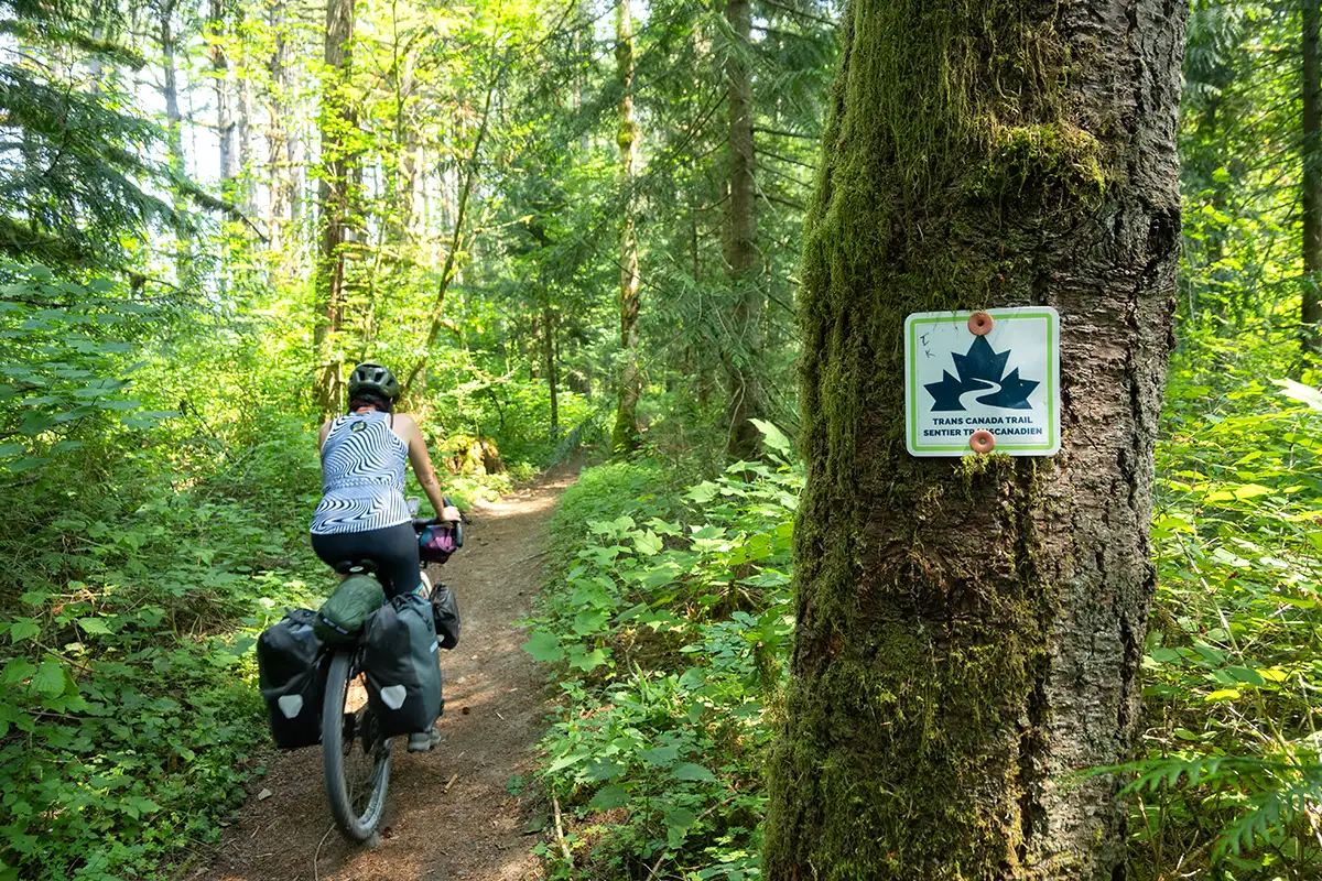
In particular, the British Columbia trail network converts old mountain railway lines into green corridors dedicated to cyclists, hikers, and in some sections, horse riders, linking the Pacific coast to the rugged interior regions of the province through spectacular viaducts and tunnels carved into the rock.
The History of the KVR
The Kettle Valley Railway (KVR) was an extraordinary and complex engineering feat built in the early 20th century. Its creation responded to a precise economic and geopolitical strategy by the Canadian Pacific Railway (CPR): to secure control of trade and the rich mining and timber regions of southern British Columbia (particularly the Kootenays region), stemming the expansion of American railways coming from the south.
Construction work, directed by the renowned engineer Andrew McCulloch, began around 1910 and was completed in 1916, overcoming formidable environmental obstacles: sheer rock faces, deep gorges, raging rivers, and hostile mountain passes. The result was a masterpiece of railway engineering comprising dozens of wooden bridges, tunnels, and dizzying gradients.
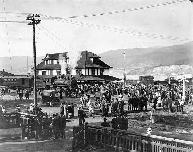
KVR inauguration in Penticton - Unknown author - British Columbia Archives, reference no. C-05830, Public Domain, Link
The railway remained active for decades, transporting passengers, timber, minerals, and the famous Okanagan fruits. However, over the years, the advent of road transport and the decline of local industry made the line uneconomical. Trains progressively stopped running starting in 1961, and the entire route was permanently abandoned in the 1980s, fortunately finding a second life as one of the most fascinating cycling and hiking routes on the planet.
The Route of the Kettle Valley Rail Trail
Below you will find a more concise description of the Kettle Valley Rail Trail route, whereas if you want to read our journey day by day, we published it in the article Wild West: 40 giorni tra orsi e foreste.
The main historical route of the Kettle Valley Railway stretched for about 480 kilometers, connecting Midway (considered the "Zero Mile" of the railway) to Hope and the Fraser Valley, passing through radically different landscapes: from coastal rainforests to the semi-arid areas of the Okanagan, amid dizzying canyons, mirrored lakes, and endless prairies.
Our bicycle journey followed the reverse route, starting much further west from Vancouver, then hooking up with the railway at Princeton and gliding eastward all the way to Grand Forks.
Is it a bike trip or a trek? From Vancouver to Princeton
We are about 1.5 kilometers away from Paleface Pass, but we already know it will take at least an hour before reaching the col. In fact, the average speed of the last few kilometers on the GPS shows a figure just over 1,000 meters! High mountain trekking stuff.
The trail we mapped out to reach the starting point of the British Columbia Trail is nothing short of demanding. Roots, double-digit gradients, rocks, tight switchbacks, and fallen trees force us to carry our bikes upward one at a time. One person pushes from the rear rack while the other in front handles the bike as best as possible, dragging it toward the next turn.
Hours will pass before reaching Hope because the descent of this track toward the town will also prove complicated. A narrow, semi-abandoned path with tall grass and shrubs invading it everywhere. Landslides and river fordings to overcome are countless, and the fear of finding an impassable one grows as we drop in altitude.
By the time the clock strikes 4 PM, we finally emerge onto a wide, rideable dirt road and can catch our breath.
Five days have passed since we left Vancouver, yet Canada has already presented its wildest face: endless forests, dirt roads that seem to lead nowhere and never end, massive wildfires raining ash onto nearby towns, collapsed bridges and blocked roads forcing us to reinvent new ways around them.
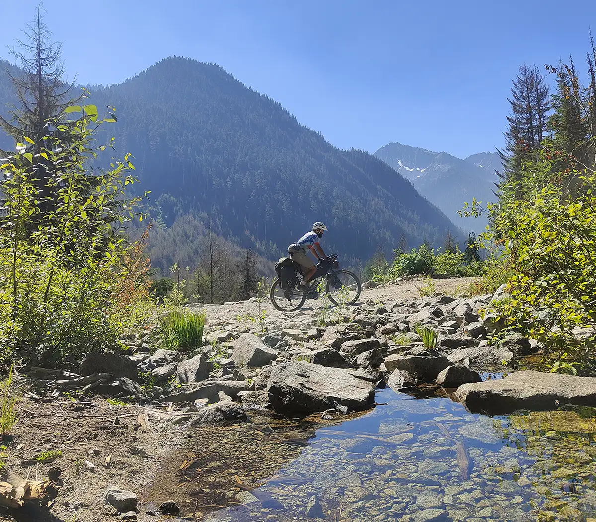
We knew it wouldn't be a walk in the park, but the initial impact is strong. Just as strong is the beauty of the very long sunsets over peaks still patched with snow, strong is the reflection of the crescent moon in Chilliwack Lake where salmon swim upstream and linger in the warm season. Strong is the group of deer greeting us at sunset among the endless expanses of fireweed. Strong is the generosity with which Canadians go out of their way to lend a hand.
We are only at the beginning of this journey, yet we are already immersed in an experience that will stick with us like only unforgettable adventures can do.
The following days will also be demanding because we will discover, too late, that the old railway between Hope and Princeton is no longer rideable due to collapsed bridges. Between Hope and Portia, we will have to ride for almost 20 km on the highway, busy and dangerous: there is no alternative.
After Britton Creek, you must be careful not to follow the railway track and instead continue on the road toward Coalmount without passing through Tulameen. Then a stretch of road leads to Princeton, and from there you get back on the old railway!
Finally on the Old Railway: From Princeton to Penticton
Leaving behind the brutal impact of the mountain trails, entering the old KVR railway bed at Princeton marks a radical turning point in the rhythm of the journey. The gradient suddenly becomes gentle and regular—rarely exceeding 2-3%—designed as it was to allow heavy steam locomotives to climb without jolting.
The stabilized gravel surface gives us back the pleasure of cycling while looking around, free from the nightmare of roots and sharp boulders, even if we will soon discover that the lack of maintenance in some sections makes the ground very gravelly and therefore difficult to pedal—it feels like sinking into the sand of the Algerian desert.
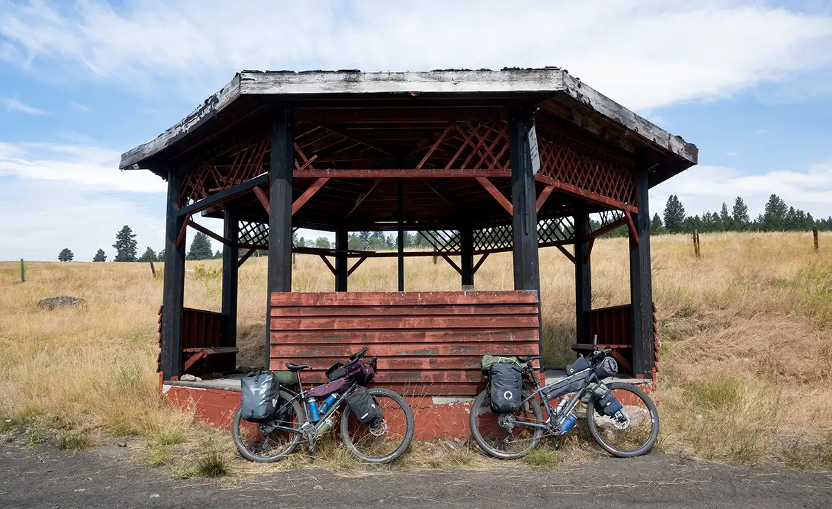
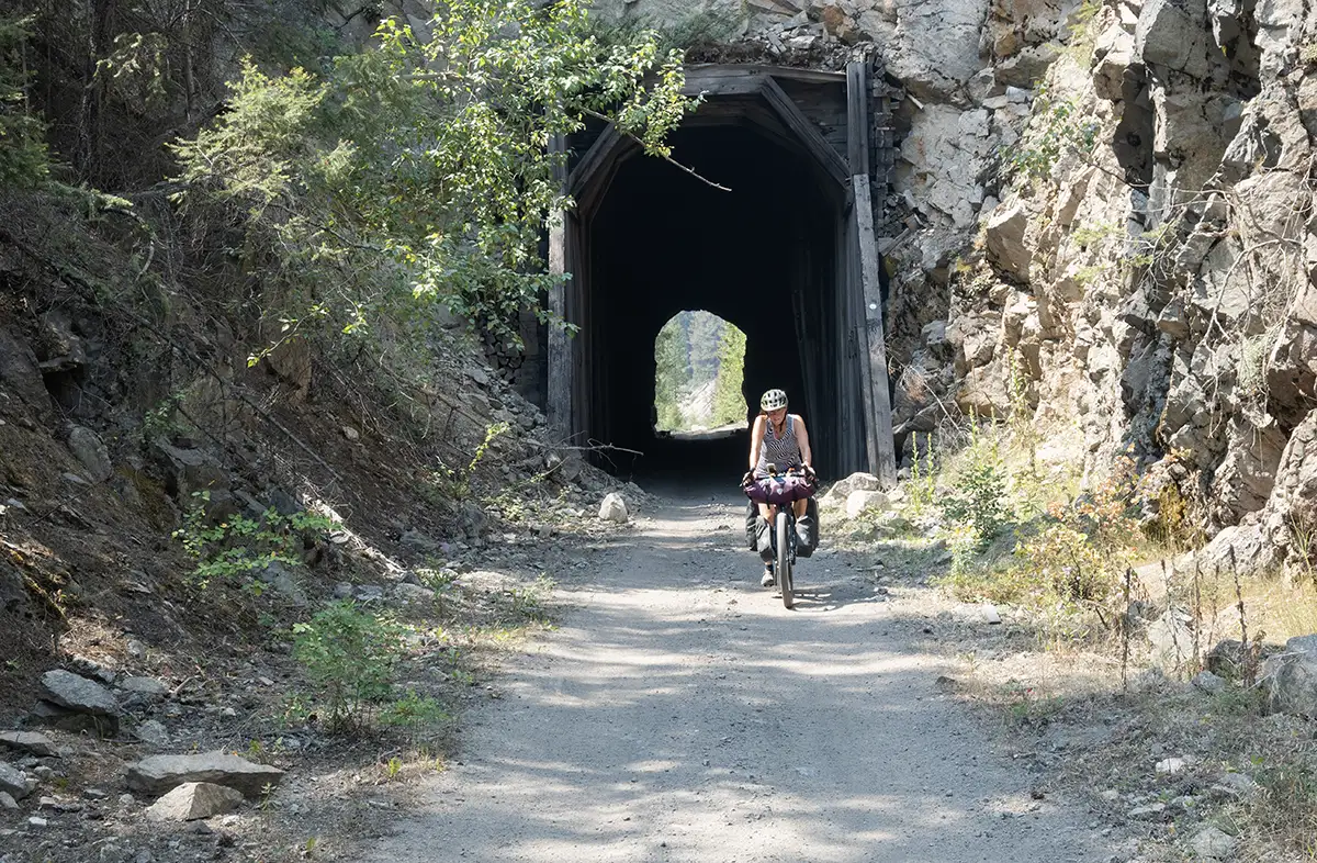
The landscape changes its face kilometer after kilometer: the dense coastal vegetation gives way to the open views of the Okanagan region, characterized by barren hills, spectacular gorges carved by rivers, and cobalt lakes nestled in the valleys. For the most part, we remain enclosed in immense expanses of pine trees, but often we pedal suspended mid-air on small iron bridges, pass through short dark tunnels, and breathe dry air scented with pine and sagebrush, while the railway gently leads us toward the lively town of Penticton, nestled between two lakes.
The Wonderful Wooden Viaducts of Myra Canyon
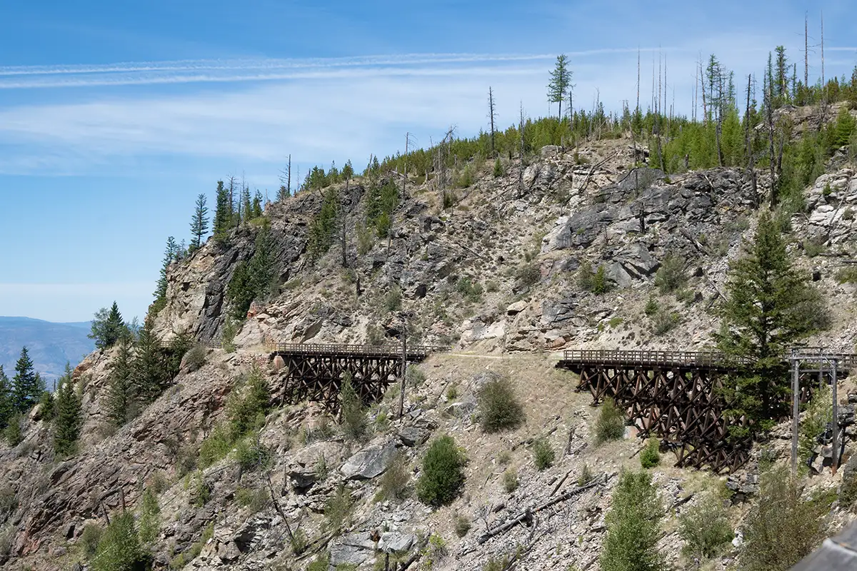
Among the most iconic and spectacular stages of the entire itinerary, the Myra Canyon undoubtedly stands out. This section represents the peak of Andrew McCulloch's engineering audacity: a breathtaking succession of wooden trestle bridges and tunnels carved into live rock that meander along the sheer walls of the canyon.
Cycling across these restored viaducts, suspended in mid-air with your gaze sweeping over the valley below, brings a sense of vertigo and deep admiration for the workers who, at the turn of the century, accomplished this titanic work with shovels, pickaxes, and dynamite. It is an open-air museum that alone is worth the entire trip.
Arrival in Midway and Continuation on the Columbia & Western Railway to Grand Forks
Pedaling eastward, the trail leads us to Midway, historically recognized as the "Mile Zero" of the Kettle Valley Railway. Here stands the interesting Kettle River Museum, preserved around the historic railway station.
However, the journey doesn't end here: from Midway, the ride continues seamlessly along the twin Columbia & Western Rail Trail, another spectacular continuation on a decommissioned railway that accompanies us alongside the river through prairies, ancient mining settlements, and imposing rock faces until our triumphant arrival in Grand Forks, sealing the end of an extraordinary adventure.