
Autumn in central Trentino: temperatures cool down, the air turns crisp, and the forests towering over the Vallagarina and the Adige Valley shed their summer green to light up in golden, ochre, and copper hues. If you are looking for a loop itinerary that seamlessly combines the scenic charm of autumn colors with a demanding elevation profile, this gravel loop to Malga Cimana and Lake Cei is a must-add ride to your travel notebook.
In this article
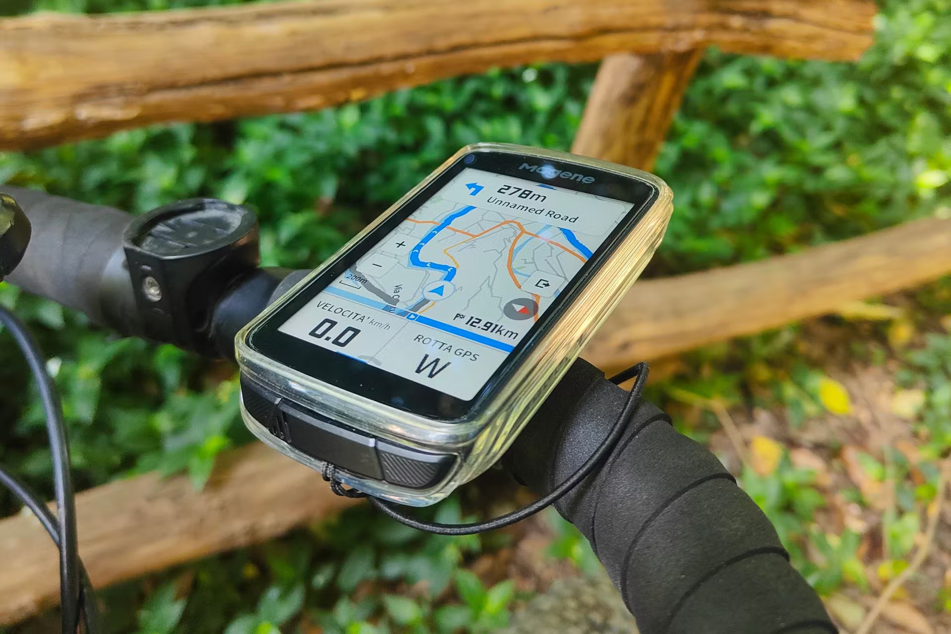
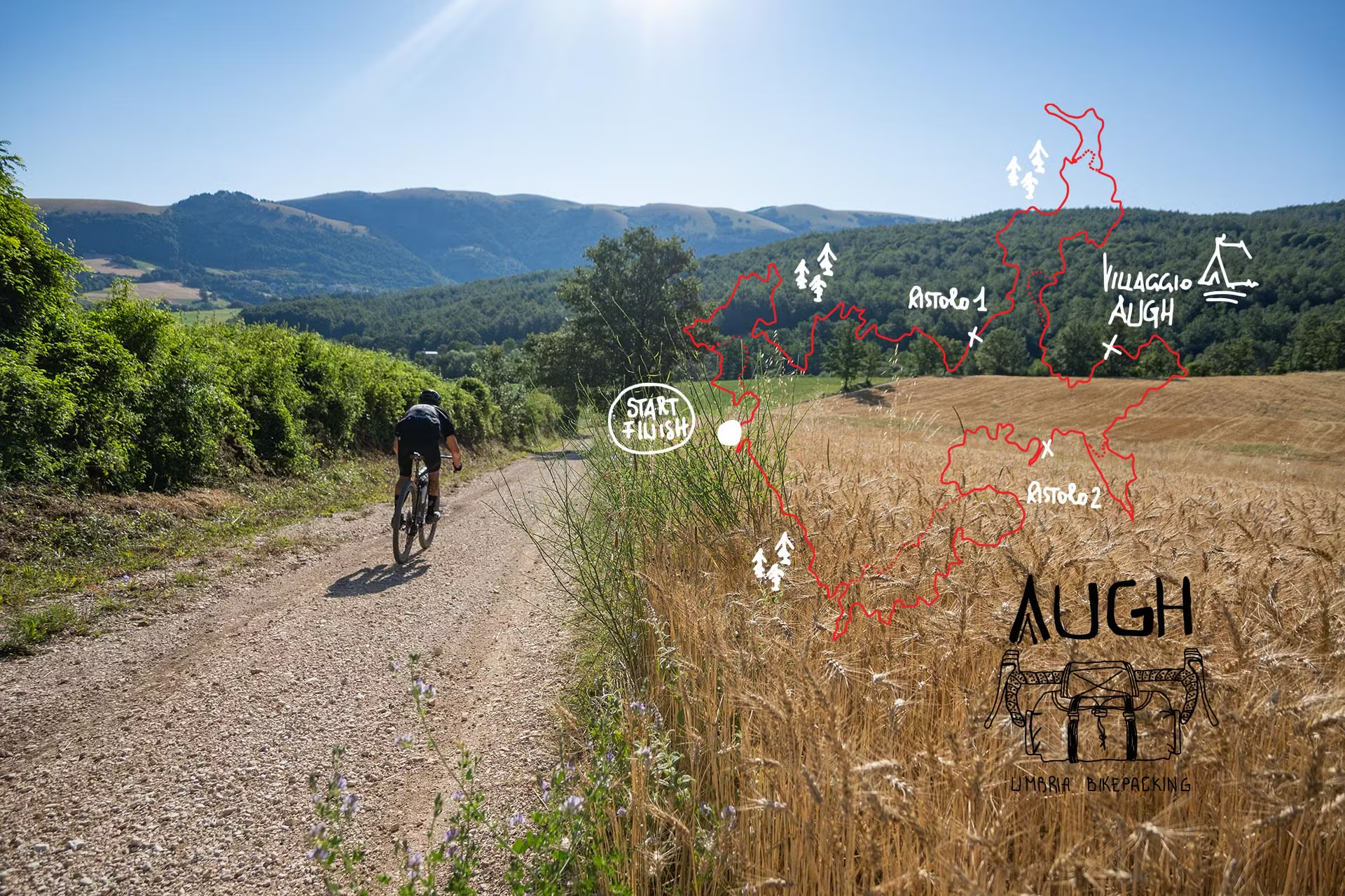
This is a challenging route, ideal for gravel bikes or MTBs due to the single unpaved section—short but slightly rough—just before arriving at the alpine hut. The track starts in the heart of the City of the Council (Trento), follows the Adige cycle path southward, tackles the tough ascent up the western slopes toward Malga Cimana, and returns to Trento after skimming the enchanting waters of Lake Cei.
Warming Up Along the Adige River (Trento – Nomi)
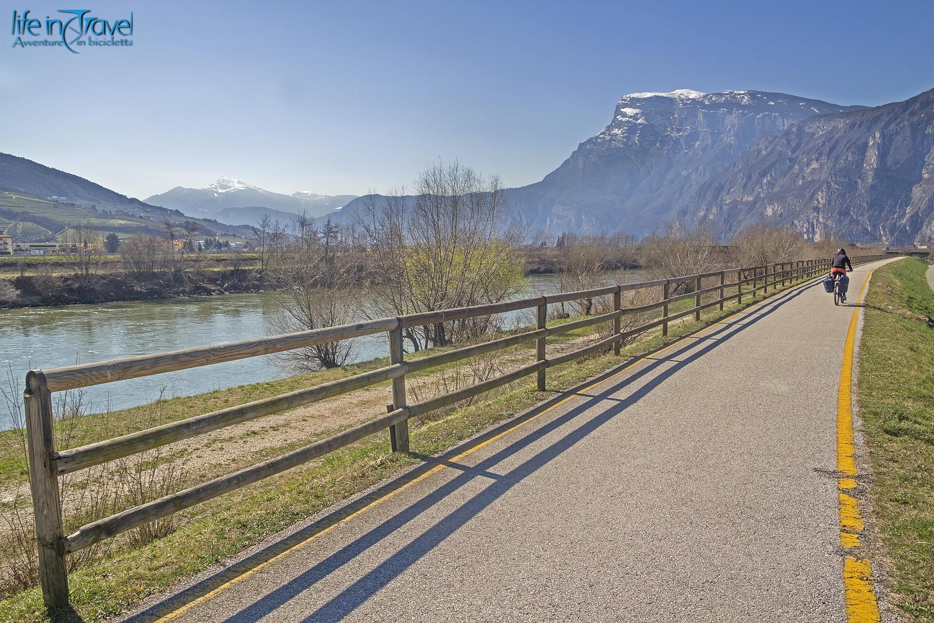
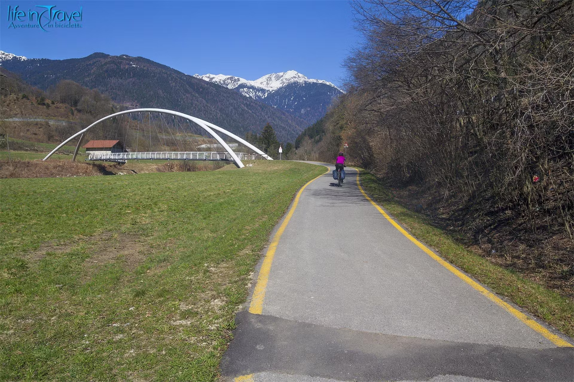
The journey begins in the provincial capital of Trento. Joining the Adige Valley cycle path (EuroVelo 7) heading south, the first few kilometers serve as a flat, perfect warm-up. The smooth tarmac glides alongside the river, flanked by Monte Bondone to the right and the Vigolana massif to the left.
After about 18 kilometers of steady, easy spinning, you reach the small town of Nomi. Here you will find one of the historic bicigrills (cyclist rest stops) of the Trentino cycling network: an ideal strategic stop to refill water bottles, check tire pressure, and top up on carbs. The flat, relaxed riding is about to come to an end.
The Wall of Pomarolo and the Climb to Servis
Leaving the bike path behind, cross the bridge over the Adige River and join the low-traffic secondary roads leading toward the center of Pomarolo, nestled at the base of the mountain slopes.
Right at the edge of the village begins the crucial section of the ride: the ascent toward the hamlet of Savignano and the location of Servis, continuing onward toward Alpe Cimana.
The climb covers roughly 10 kilometers with over 1,000 meters of vertical gain, featuring an average gradient close to 10% and relentless ramps in the double digits (locally reaching between 14% and 16%). There are very few places to catch your breath: your pace must be managed with extreme caution right from the initial meters.
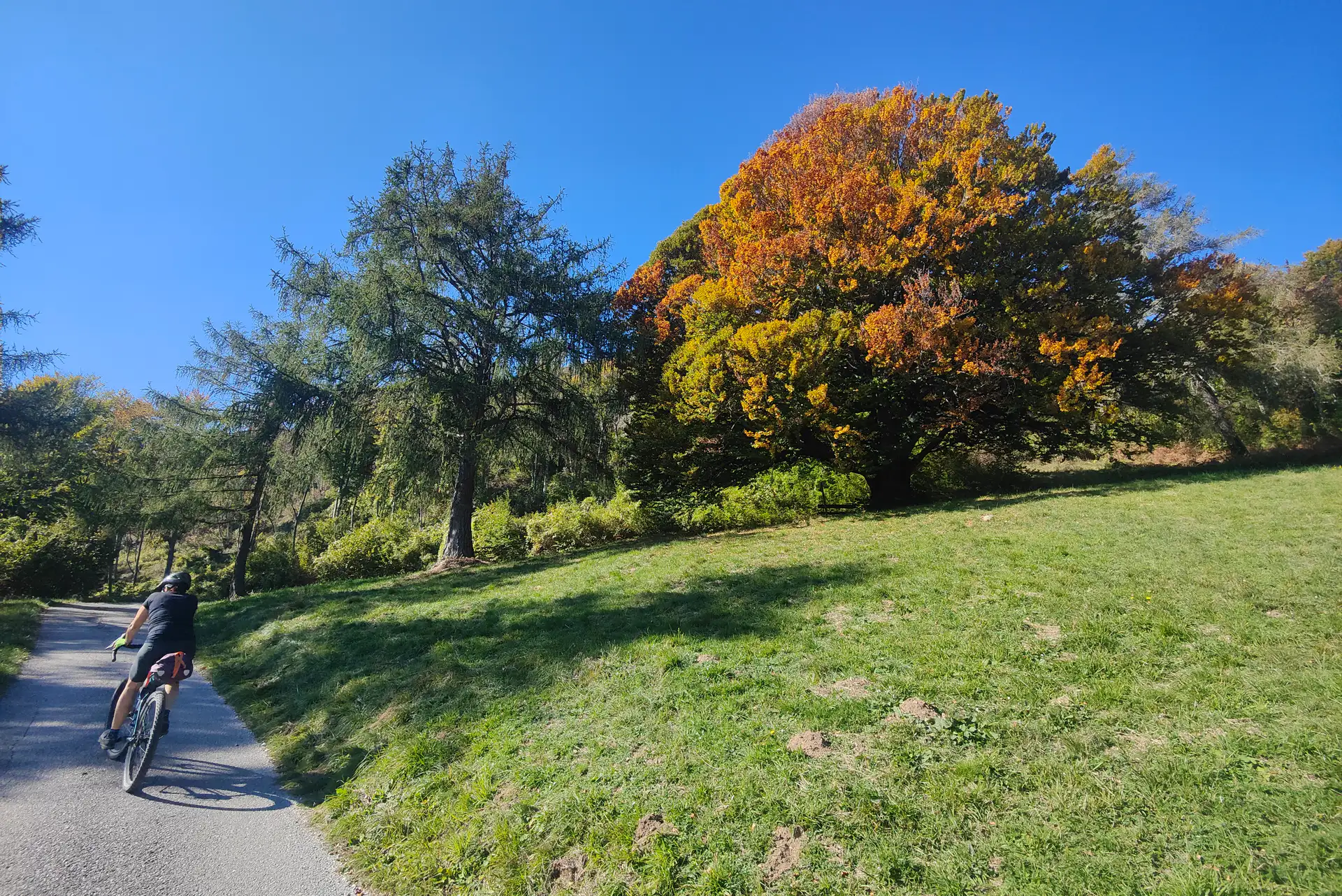
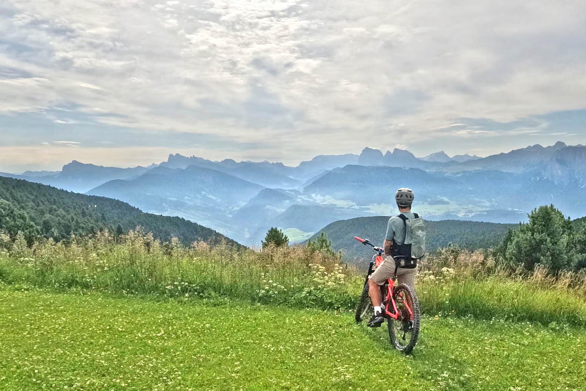
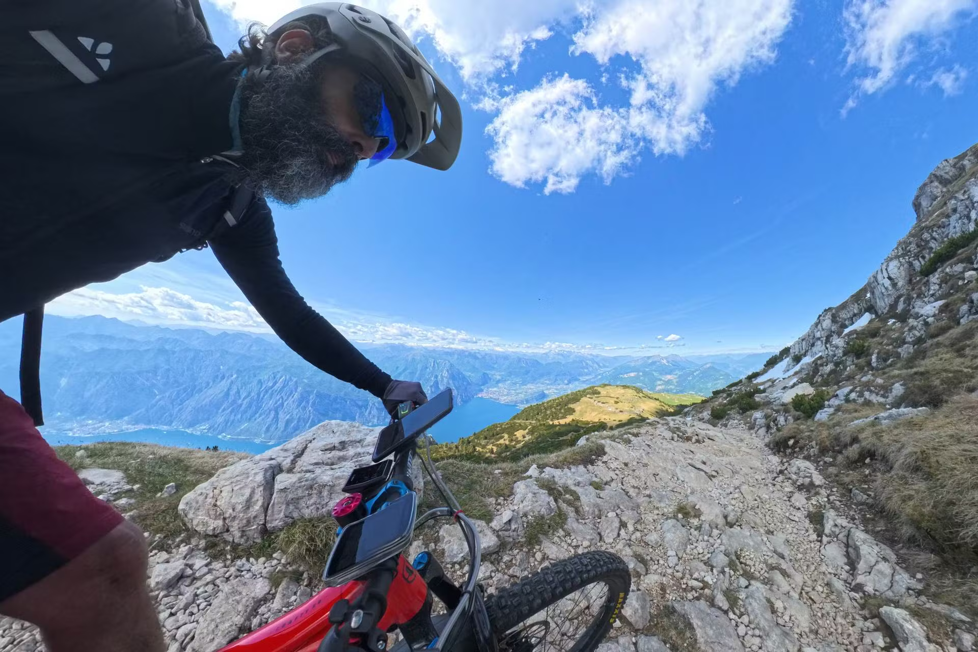
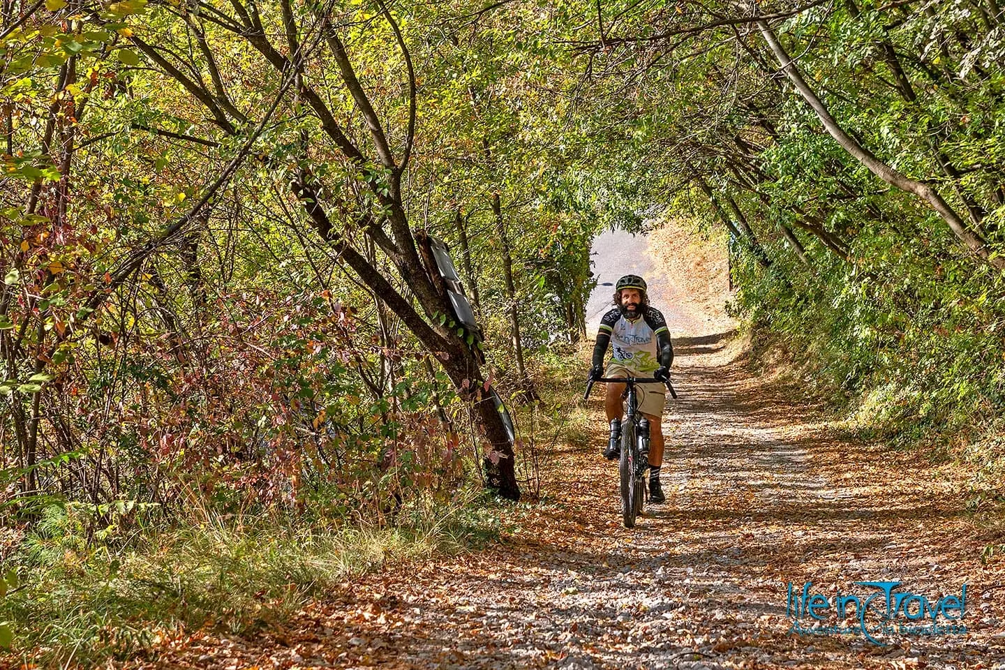
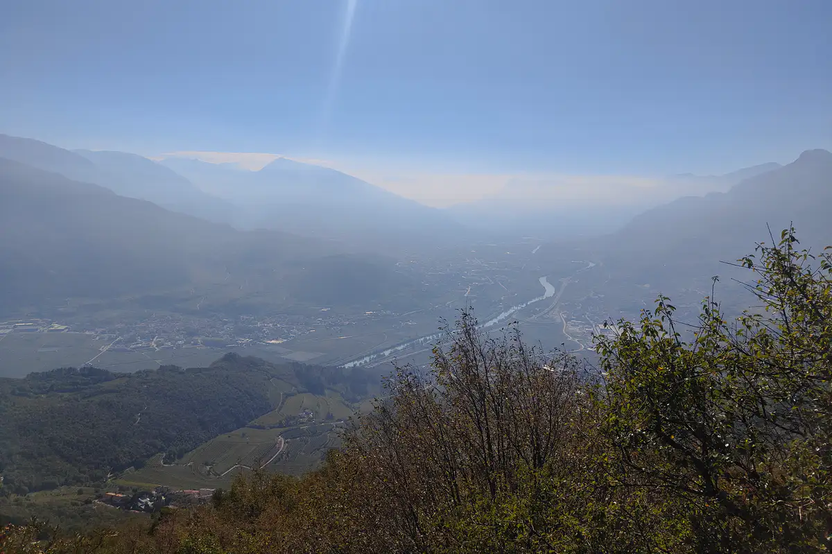
As you gain elevation through a tight sequence of switchbacks, the panorama opens up dramatically over the Vallagarina and the city of Rovereto. The secondary road carves through dense woodland: once past the 600–700 meter altitude mark, the vegetation changes completely. Chestnut trees give way to beech forests, which in autumn transform into a true golden cathedral. The light filters through the red and yellow canopy, offering unforgettable photo opportunities—which is why I often ride in this area, just like when I did the tour of Lake Cei and Passo Bordala by MTB.
The Gravel Traverse to Malga Cimana
Once past the steepest series of switchbacks, the gradient finally spiana. On the final hairpin turn, a military gravel track branches off toward Dos dei Canoni, the destination of an epic enduro MTB ride on Monte Bondone completed a while ago. At a subtle junction, turn left, leaving the main asphalted road to join the forest track leading to Malga Cimana (1,200 m above sea level).
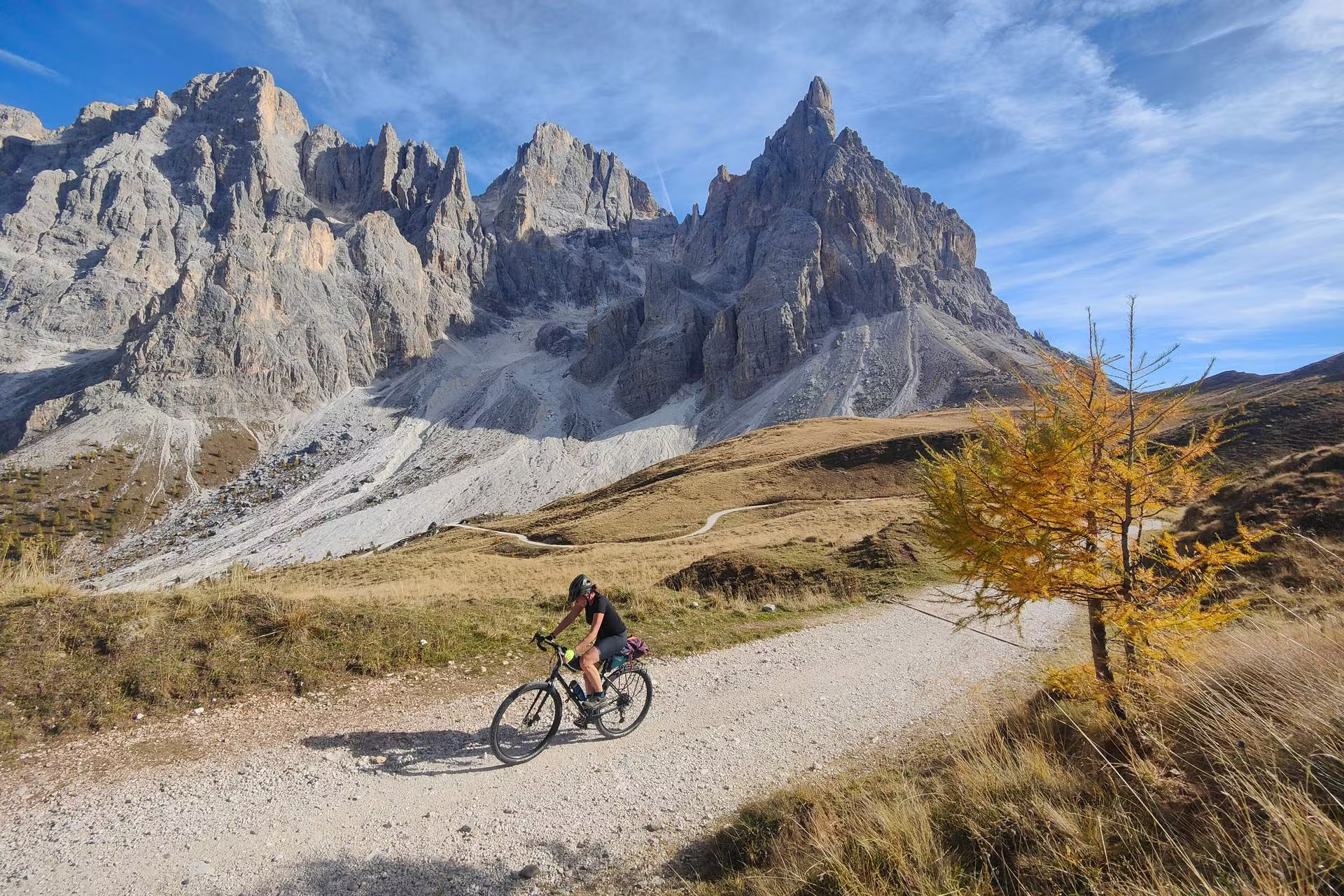
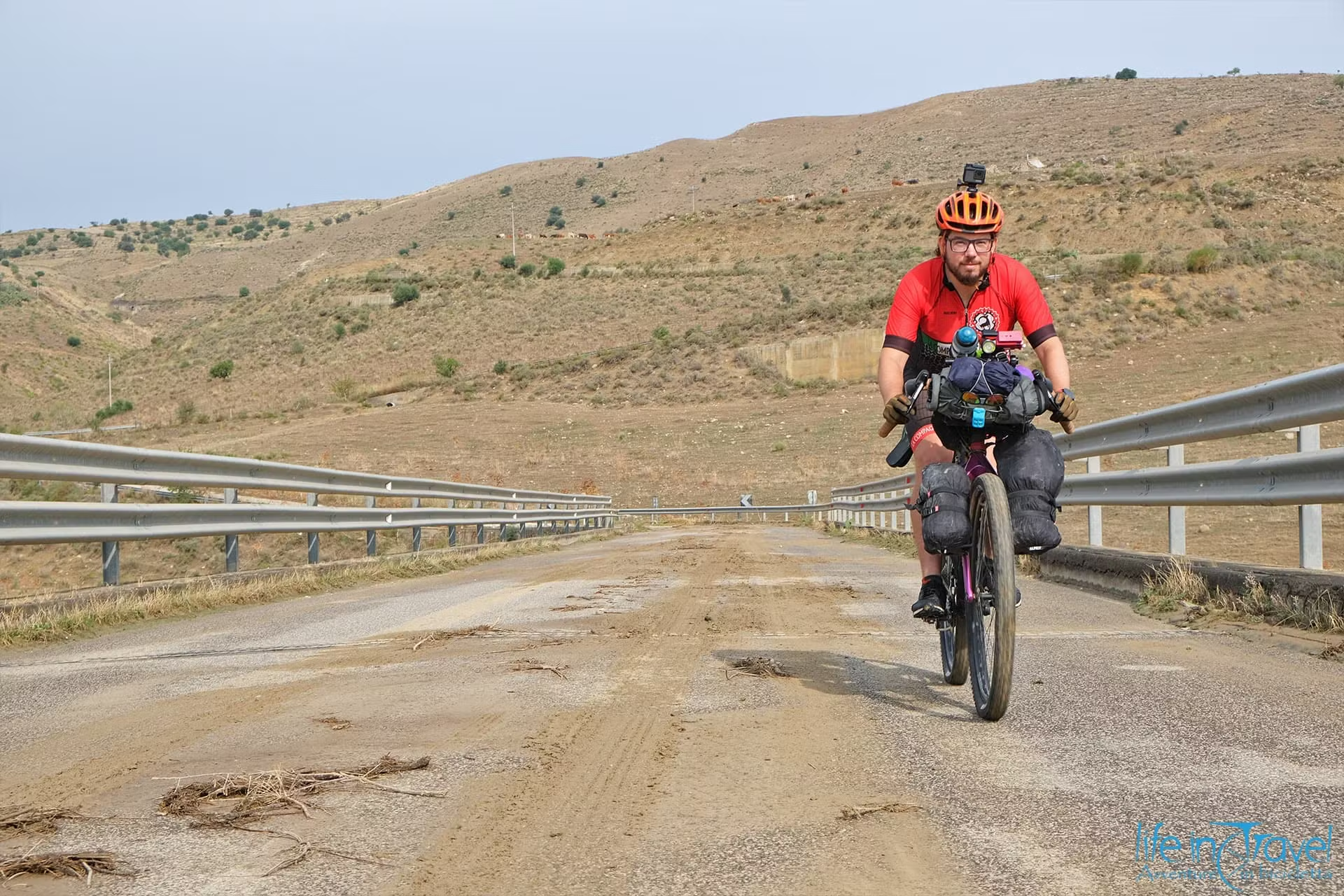
This is the only unpaved section of the route (around 2–3 kilometers long): the ground is generally compact, made of hard-packed soil and fine gravel, perfectly rideable even on a gravel bike equipped with proper tires, provided you exercise a bit of caution on the initial descent, which can be heavily rutted by rain.

Upon reaching Malga Cimana, the view expands from the high-altitude pastures toward the Pasubio group and the Little Dolomites.
On autumn weekends, the alpine hut (malga) is a popular destination. If you haven't reserved a table to dine inside, opting for a platter of local cold cuts and cheeses at the outdoor tables is a great alternative. The hosts provide warm blankets: wrapping yourself in a plaid with a slice of chocolate tenerina cake and a hot cup of tea is one of the true pleasures of this ride.
The Mirror Waters of Lake Cei and the Descent to Aldeno
A short pedal after leaving the alpine hut brings you back onto the tarmac for a fast, sweeping descent toward the provincial road leading to Lake Cei.
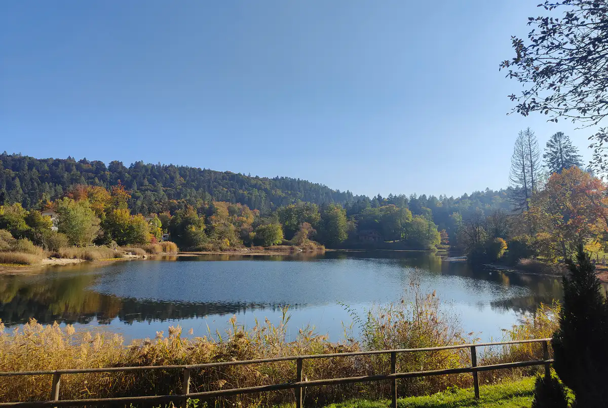
Lake Cei is a serene glacial wetland biotope cradled by beech trees. Staying on the western bank, take a short gravel path to loop around the shoreline: the setting is fairytale-like. Orange-tinted beech, larch, and willow trees mirror themselves on the calm surface of the water, creating symmetrical reflections worth pausing for before the final descent.
Once you've soaked in the peaceful atmosphere, begin the main descent toward Aldeno: a long, flowing stretch with clean asphalt and excellent visibility. Nevertheless, the steep gradients demand careful braking management, especially if the road surface is covered in damp fallen leaves.
Return to Trento
Reaching the valley floor in the village of Aldeno, follow a brief section of provincial road to quickly reconnect with the Adige Valley cycle path.
From here, the final 10 to 12 flat kilometers allow you to spin out your legs after the tough climbing, closing the loop right where it started, among the frescoed buildings and rich history of central Trento.