Select your language

Renon Gravel loop
Renon con panorama sulle Dolomiti - lifeintravel.it
Start/Finish
Collalbo
Location
Italy
Season
Summer
Time
Escaper (1 day)
Length
35 km
Route type
Ring tour
Elevation gain
1310 m
Difficulty
Micro adventure
Terrain
Gravel (mixed terrain)
Asphalt
15%
Gravel
82%
Single Trail
3%
Valutazione
Difficulty
4/5
Panorama
5/5
Suggested bike
Adventure bikeGravelMTB
 

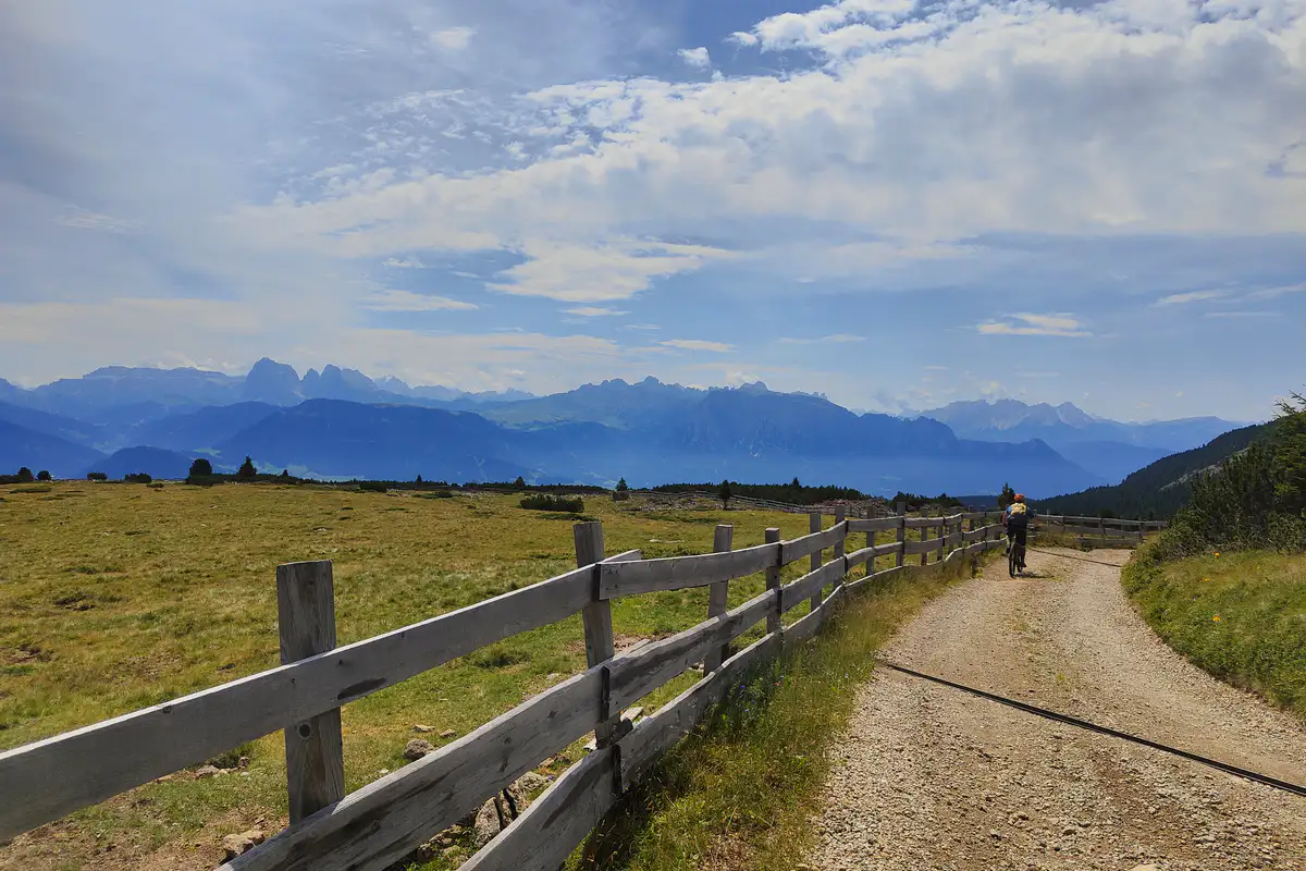
If you're looking for a gravel route away from the crowds, one that offers wide-open spaces, high-altitude pastures, and one of the most spectacular 360° views in the Alps, the Ritten Plateau (Renon) is the answer. Located just above Bozen (Bolzano), this natural balcony offers a network of flawless gravel roads, rewarding climbs, and open vistas across the entire Dolomites range.

renon gravel loop panorama

This gravel loop combines the climb up to the summit of Rittner Horn (Corno del Renon)—which I had also tackled in winter—with the open panoramas of the Villanderer Alm (Alpe di Villandro), passing traditional alpine huts and landscapes reminiscent of the great plateaus of northern Europe. A half-day adventure rich in charm, technical riding, and delicious stops.

Starting from Tann and climbing toward Obergrünwald

Our itinerary kicks off just above Klobenstein (Collalbo), right near the renowned area of Tann (1,488 m). Once clipped in, the climb makes itself felt right away as we turn onto Via Tann heading toward Obergrünwald.

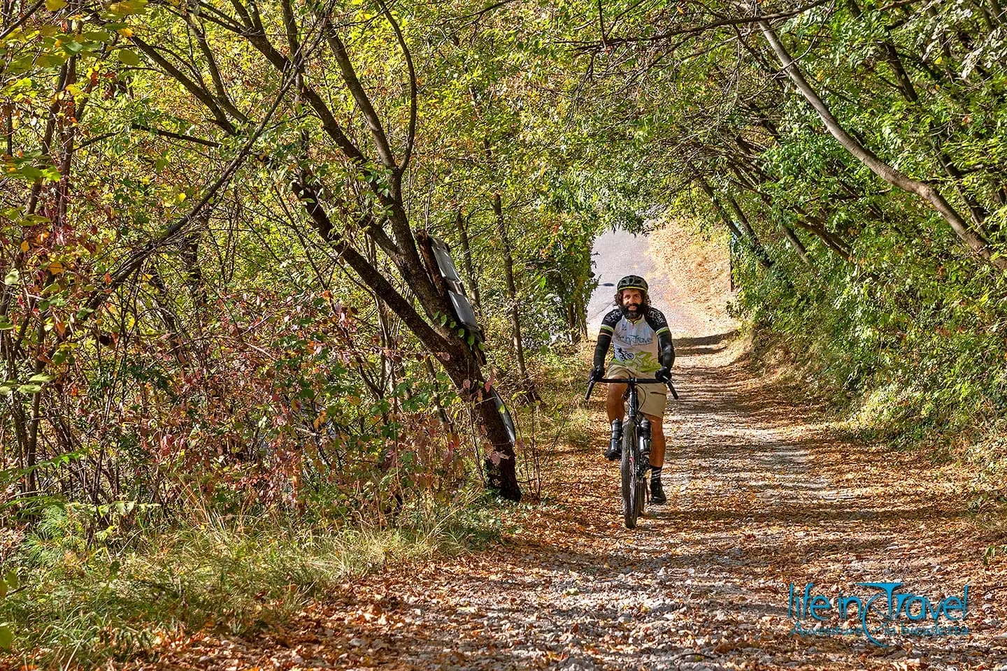
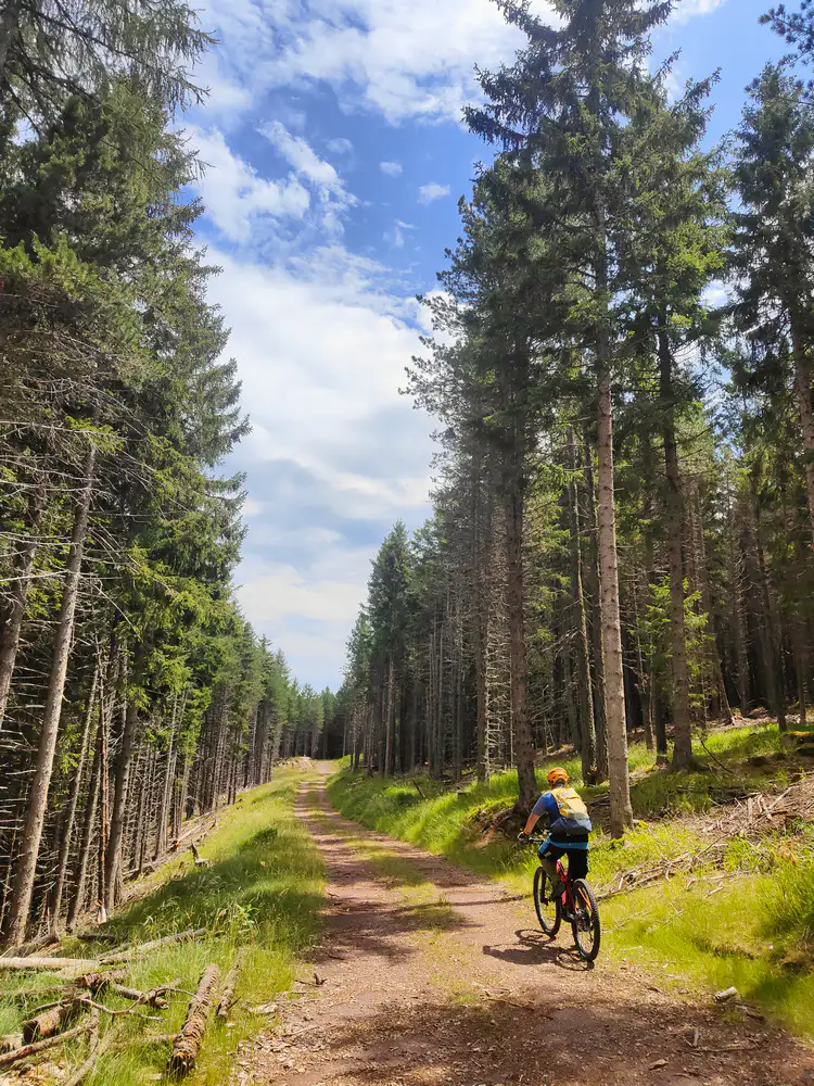
The first three kilometers pass quickly on quiet asphalt, perfect for warming up the legs. Leaving the paved road behind, the scenery changes dramatically. You step into the gravel soul of the route: the road turns into a compact gravel forest track rising at a steady gradient, first sheltered in the shade of a dense spruce forest before gradually opening up to high-altitude alpine pastures.

Along the way, we bump into an elderly farmer walking back down the track with a hoe in hand, stopping at every drainage channel to clear out debris left by yesterday's rain. Moments like these reveal true dedication to the land, explaining why South Tyrol is so impeccably maintained.
renon gravel loop partenza

The Unterhornhaus Lodge and the 360° summit view

Continuing the climb up the mountain slope, the view begins to open up spectacularly. An unmissable coffee break awaits us at the Unterhornhaus (Rifugio Corno di Sotto, 2,044 m), a strategic point before the final push toward the peak.

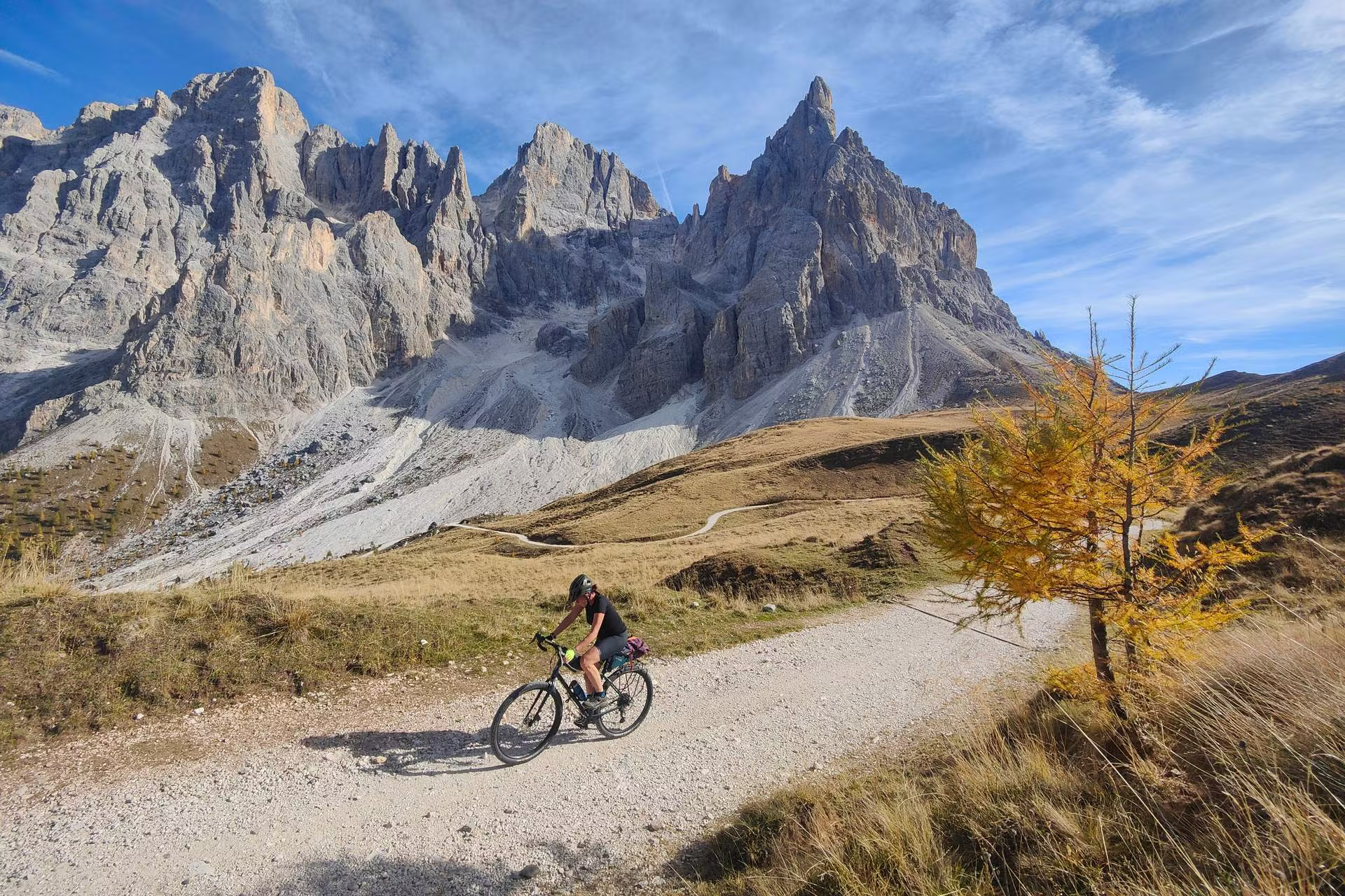
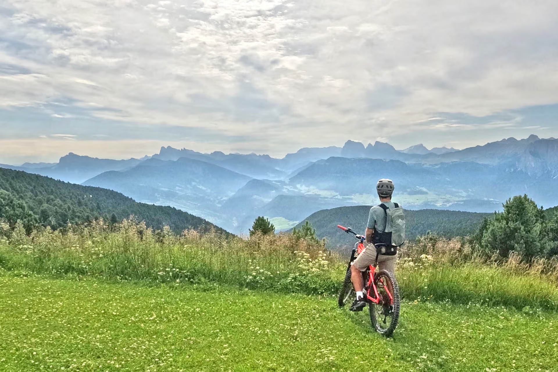
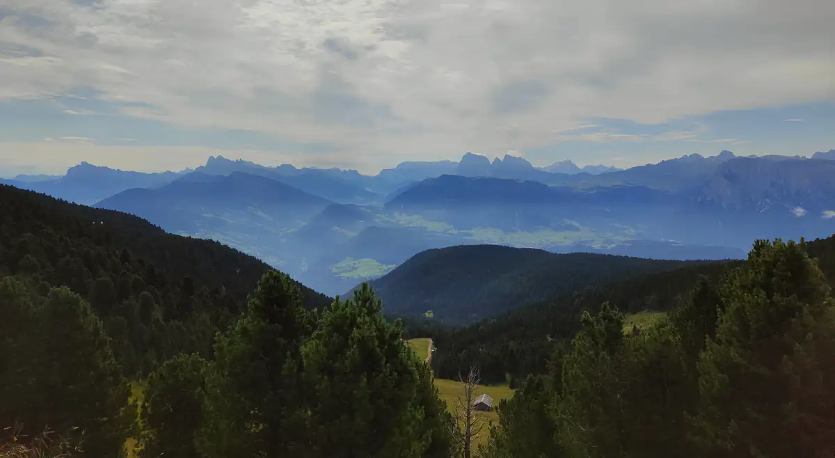
Just a bit higher up, a detour from the main track leads to the top of the Rittner Horn (Corno del Renon, 2,260 m). The effort put into the last steep ramps is rewarded by one of the most famous and comprehensive panoramas in all of South Tyrol. The gaze sweeps across 360 degrees: right in front of us, the Dolomites seem almost close enough to touch. You can clearly spot the walls of the Latemar, the mighty Rosengarten (Catinaccio) group, the peaks of Langkofel (Sassolungo) and Plattkofel (Sasso Piatto), all the way to a view of the undisputed queen, the Marmolada.
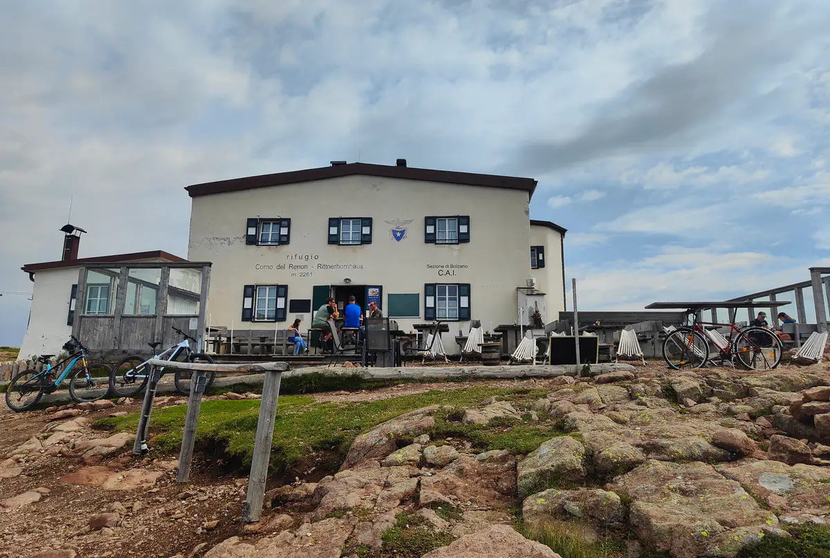
renon gravel loop corno

Heading toward Villanderer Alm: old-world atmosphere

After taking in the view from the summit, we dive back down onto the previous gravel track to head north. The route remains very rideable, smooth, and well-kept, winding through alpine meadows framed by old dry-stone walls—a vast, lush landscape that, in color and scale, closely resembles the moors of Scotland or Ireland.
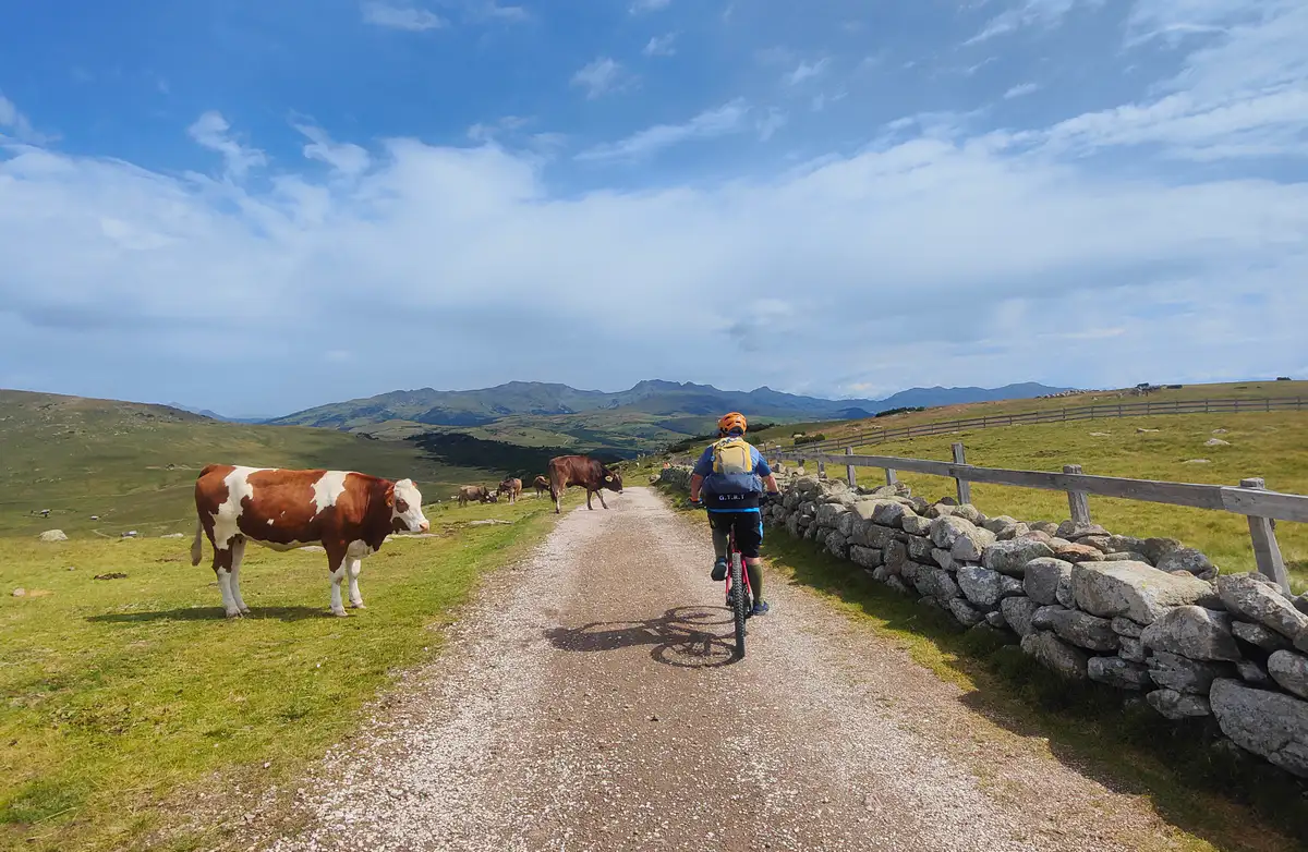
renon gravel loop muretti

What follows is a pleasant descent leading straight to the Villanderer Alm (Alpe di Villandro), one of Europe's largest high-altitude pastures. Here, riding becomes relaxed, accompanied by cowbells and the presence of grazing cows, sheep, and goats among traditional alpine huts and rustic wooden chalets.
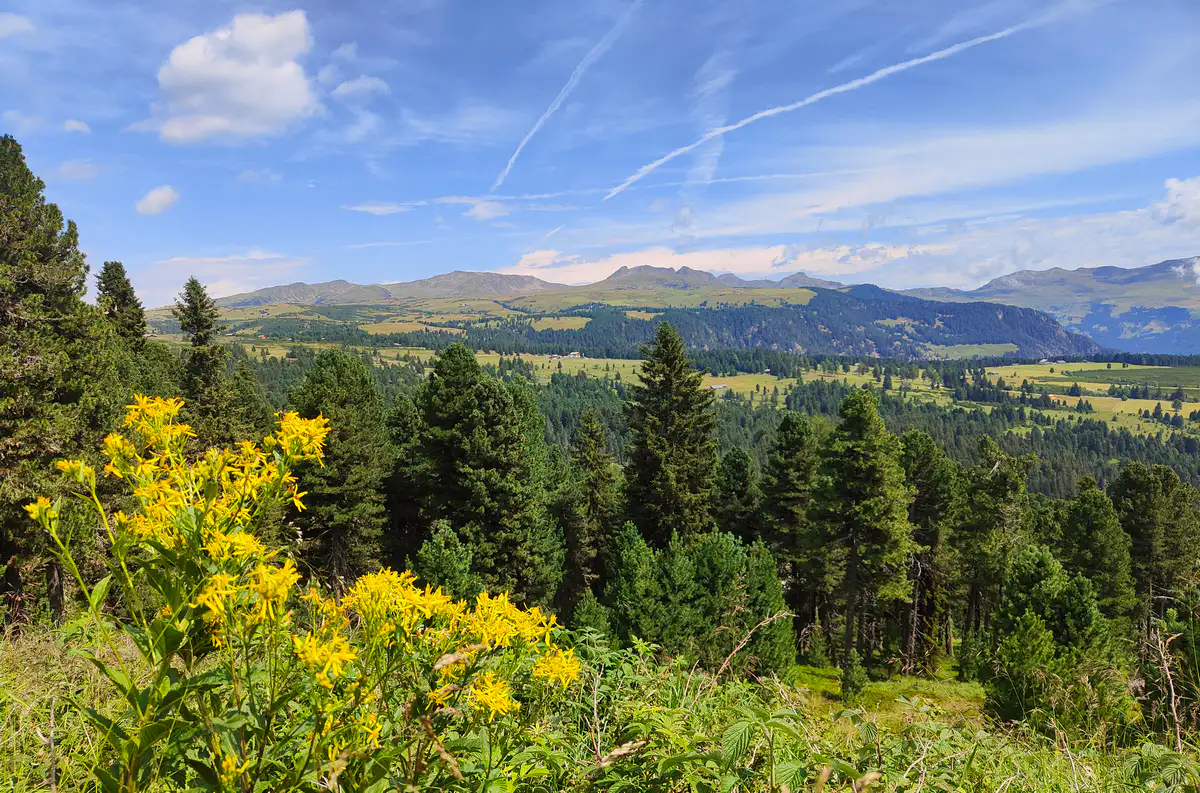
renon gravel loop villandro

Barbianer Alm, Huberkreuz, and the return

Leaving the Villanderer Alm, it's time to gain elevation once again. The trail sweeps in a broad loop to head back toward the Ritten area, riding along the slopes of the Barbianer Alm (Alpe di Barbiano), situated right below the Rittner Horn peak visited earlier.

The track offers continuous views over the valleys below. After passing the tiny snack shack at Huberkreuz—ideal for a refreshing break featuring local speck and alpine cheeses—we tackle the final uphill sector.
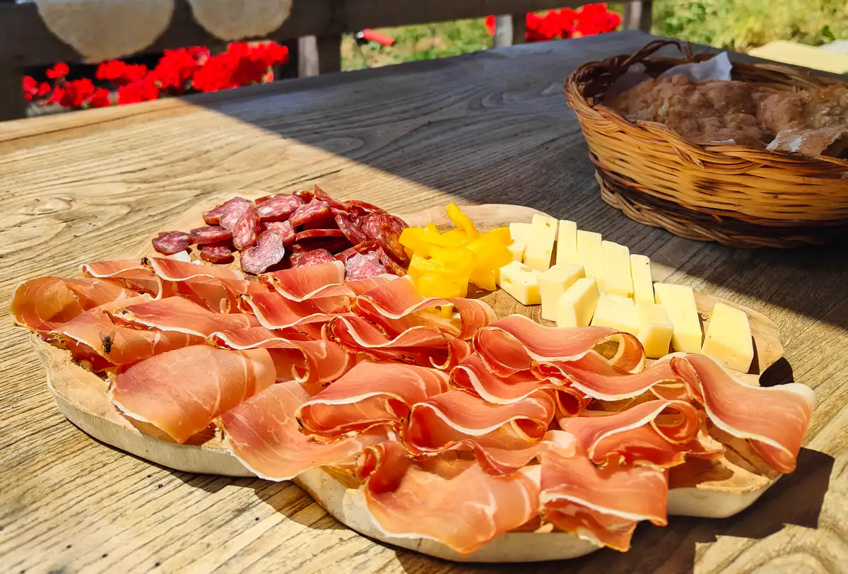
renon gravel loop speck

renon gravel loop barbiano

To cap off the adventure in style, the route treats us to a short but fun singletrack: a natural surface with exposed tree roots requiring a touch of bike handling, guaranteed to put a smile on your face before reconnecting with the forest road that quickly leads back to the start at Tann.

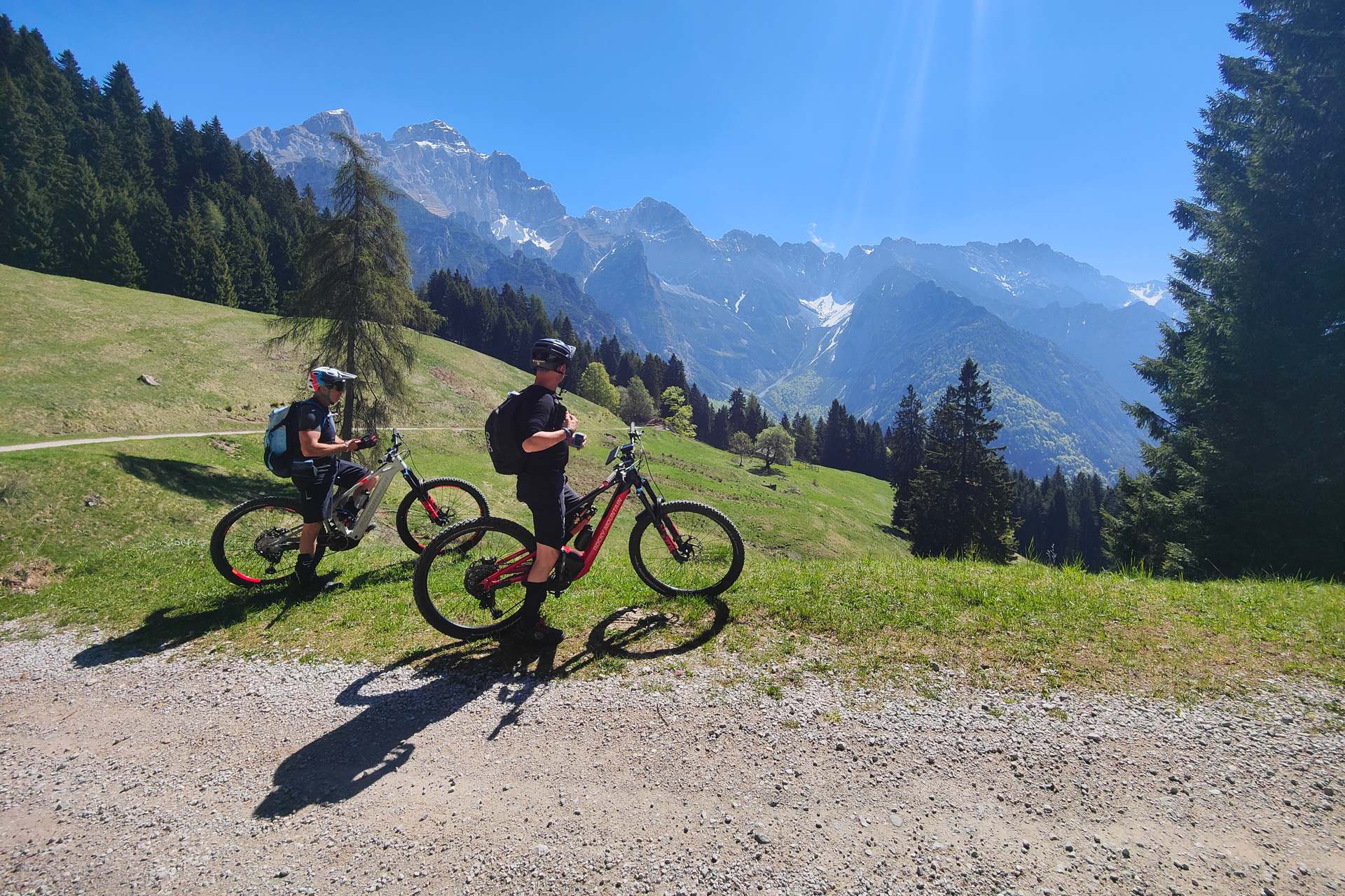
We rode this itinerary on e-MTBs, but it is entirely doable on a gravel bike too—with the sole exception of a few hundred meters along the flat singletrack trail, which can easily be pushed on foot if it feels a bit too rough.

  • The panoramic view from the summit of Rittner Horn
  • A plate of local speck at one of the mountain huts along the way

Authentic Flavors of South Tyrolean Alpine Huts

The Ritten Plateau and its pastures are a true gastronomic paradise for cyclists. Beyond the classic coffee and apple strudel break at the Unterhornhaus lodge, a stop at the snack shack or alpine hut near Huberkreuz is an absolute must along the route. Here you can sample a traditional Brettljause: a wooden platter laden with PGI South Tyrolean speck, aged alpine cheeses, pickles, and crispy rye flatbread (Schüttelbrot). If you prefer a warmer, more heartier meal, you'll find plenty of other huts and lodges along the way—don't miss the chance to try traditional dumplings (Knödel) served in broth or melted butter, or a plate of alpine cheese spätzle to load up on carbs.

Alpine Hospitality on the Ritten Plateau

To explore the Ritten Plateau on two wheels, the ideal base is Hotel Pemmern, located right near the start of the tour and right at the valley station of the Rittner Horn cable car. This family-run hotel offers a traditional alpine atmosphere, spacious Tyrolean-style rooms, and a cuisine that blends local traditions with Mediterranean flavors. It is particularly appreciated by cyclists thanks to its secure bike storage, e-bike charging stations, and strategic location: you can set off directly in the saddle without ever touching your car, while enjoying the quiet, fresh mountain air of South Tyrol in the evening.

To best plan your gravel ride and stay up to date on local events and trail conditions, we recommend checking the official channels and route resources:

  • Official Tourism Board: discover all routes, accommodation options, and events on the plateau on the Ritten Tourism Board portal.
  • Rittner Horn Info: details on mountain huts, cable cars, and open trails on the Rittner Horn / Corno del Renon website.
Last modified: 16 July 2026
Author Image
Leo

Viaggiatore lento con il pallino per la scrittura e la fotografia. Se non è in viaggio ama perdersi lungo i mille sentieri che solcano le splendide Dolomiti del suo Trentino, sia a piedi che in mountain bike. Eterno Peter Pan che ama realizzare i propri sogni senza lasciarli per troppo tempo nel cassetto, dopo un anno di Working holiday in Australia e dieci mesi in bici nel Sud est asiatico, ora sogna la panamericana... sempre in bici, s'intende!

Say something here...
You are a guest ( Sign Up ? )
or post as a guest
Loading comment... The comment will be refreshed after 00:00.
 
Keep in touch
Leave your email here to receive tips, itineraries and news from the bikepacking and bicycle touring world

Joing more than 25.000 cyclists. We wont send you spam!

Latest comments

Grazie mille per gli aggiornamenti @gianfraa 
anche noi all'epoca (oramai un bel po' di anni fa) avevamo rinunciato a tratti del Sentiero per la presenza dei guadi che col carrellino non erano in effetti fattibili e avevamo seguito, come narrato nella descrizione, la SS412 tra Pianello e Lentino. 
Grazie anche per l'aggiornamento sullo stato del fondo, utile per tutti coloro che leggono!
Ho percorso il 13/7/2026 il sentiero del Tidone, dal Penice verso Valle in e-gravel.
Sengalo che, malgrado il periodo torrido e secco di questa estate, il primo guado dopo la diga del Trebecco aveva almeno mezzo metro d'acqua, e l'ho passato con bici in spalla. Quelli a seguire li ho saltati
Inoltre il tratto più alto, da Casa Matti a San Silverio, è molto irregolare, con frequenti avvallamenti molto pronunciati, fango e risalite smosse. Raro trovare tratti dove il fondo resta continuo per più di 100-200 metri. Farlo col carrellino penso sia impossibile.
In queste condizioni lo considererei da gravel spinto o per mtb
ciao , ci piacerebbe fare lo  stesso percorso da savona a roma in bicicletta , come possiamo fare per contattarvi ? grazie This email address is being protected from spambots. You need JavaScript enabled to view it.

Latest from Leonardo Corradini