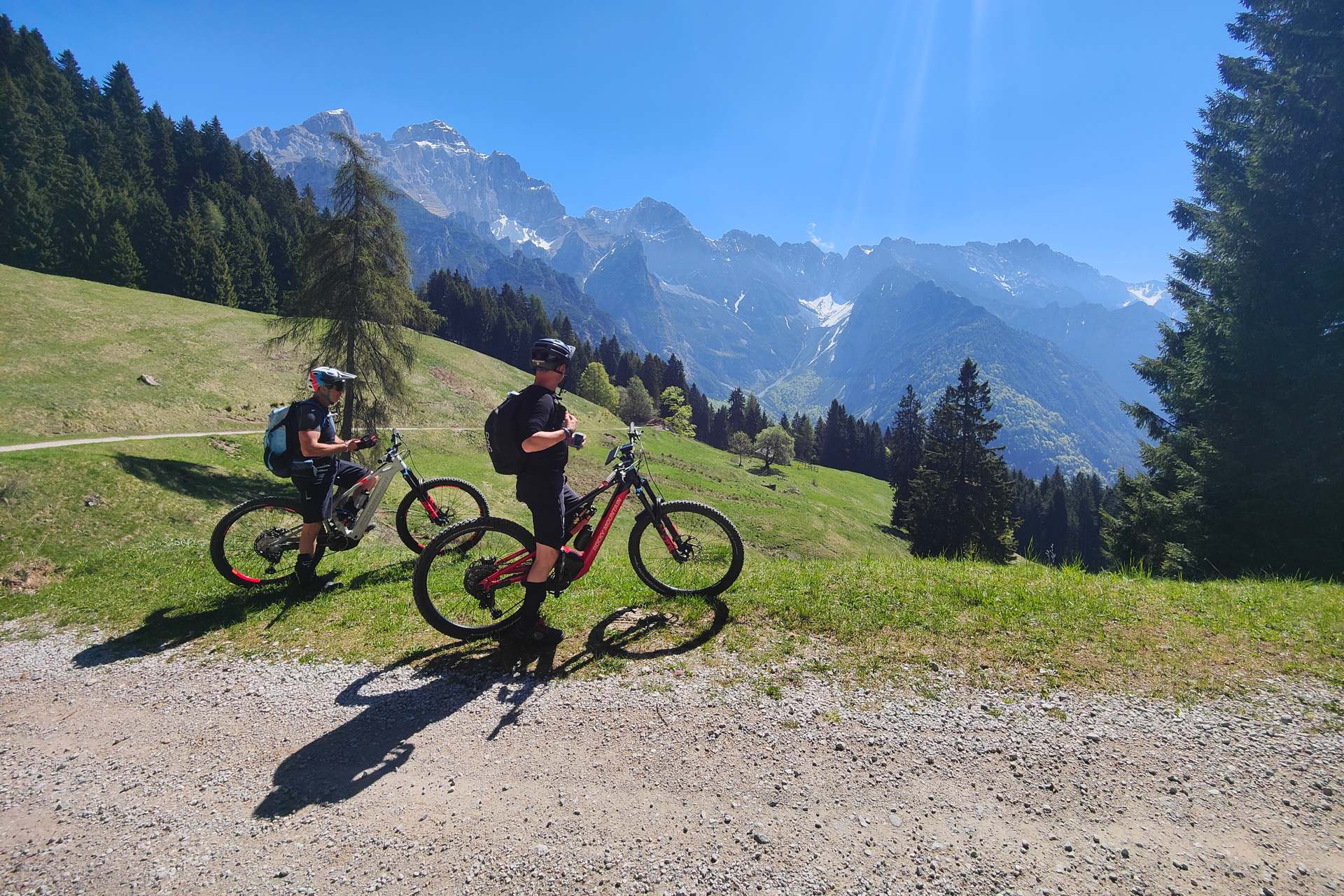
Lake Garda is a true paradise for two wheels, but there are routes that leave an indelible mark on both your legs and your memory. The loop itinerary that leads from Torbole to the summit of Monte Altissimo di Nago, passing through the Brentonico plateau and the San Valentino Pass, is exactly one of them. This is not a route for everyone: it requires excellent fitness and great off-road riding technique or, alternatively, the support of a high-performance e-mountain bike with a generous battery.
In this article
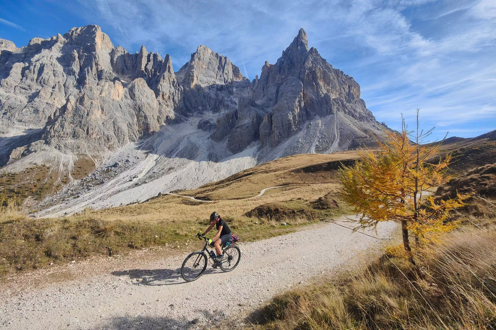
The extreme effort, however, is amply rewarded. This trail represents the quintessence of adventure cycling and mountain all-mountain riding in the Upper Garda area: an endless climb with sometimes brutal gradients, technical sections to test your skills and, above all, a continuous succession of panoramic viewpoints suspended between the blue waters of the lake and the towering Alpine peaks.
The First Part: From Torbole to the San Valentino Pass
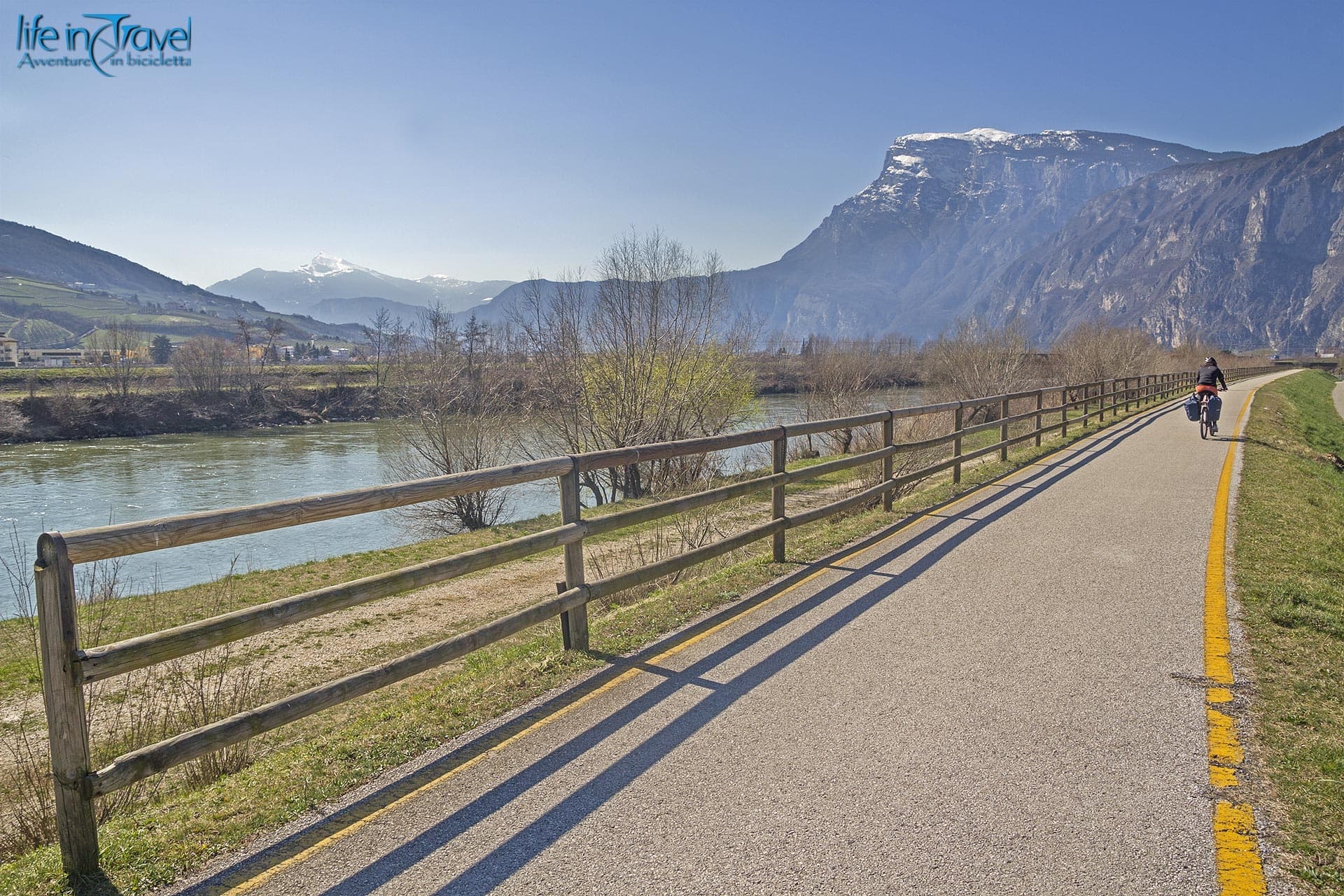
The itinerary officially kicks off from the shores of Torbole sul Garda, just like the route to Altissimo from Dos Casina that I pedaled many years ago. There is no room for a warm-up: the road immediately begins to climb steeply following the path of the bike path leading towards the San Giovanni Pass. After passing the picturesque biotope of Lake Loppio, you leave the asphalt behind to turn sharply right, plunging into the dense forest vegetation. This is where the true "eternal climb" begins.
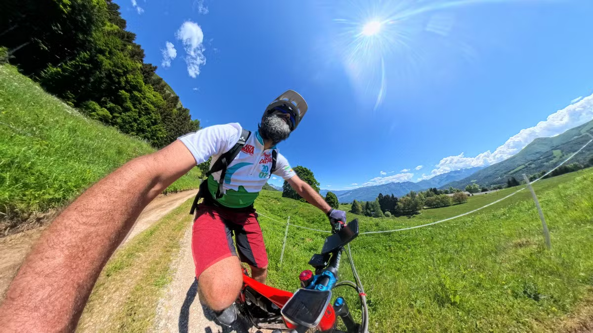
After passing the characteristic village of Castione, at the entrance to the Brentonico Plateau, the surface becomes a changing mosaic of secondary asphalt, concrete ramps necessary to overcome the steepest gradients, and compact gravel. The altitude rises rapidly, alternating dense woods with alpine meadows and panoramic views that begin to open up over the valley below. Fatigue sets in, and in some particularly steep or rough sections—where there is also a short flight of steps—it will be necessary to push the bike for a few meters before finally gaining the San Valentino Pass, not far from the ski resort of the same name.
Towards the Sky: The Altissimo Military Road
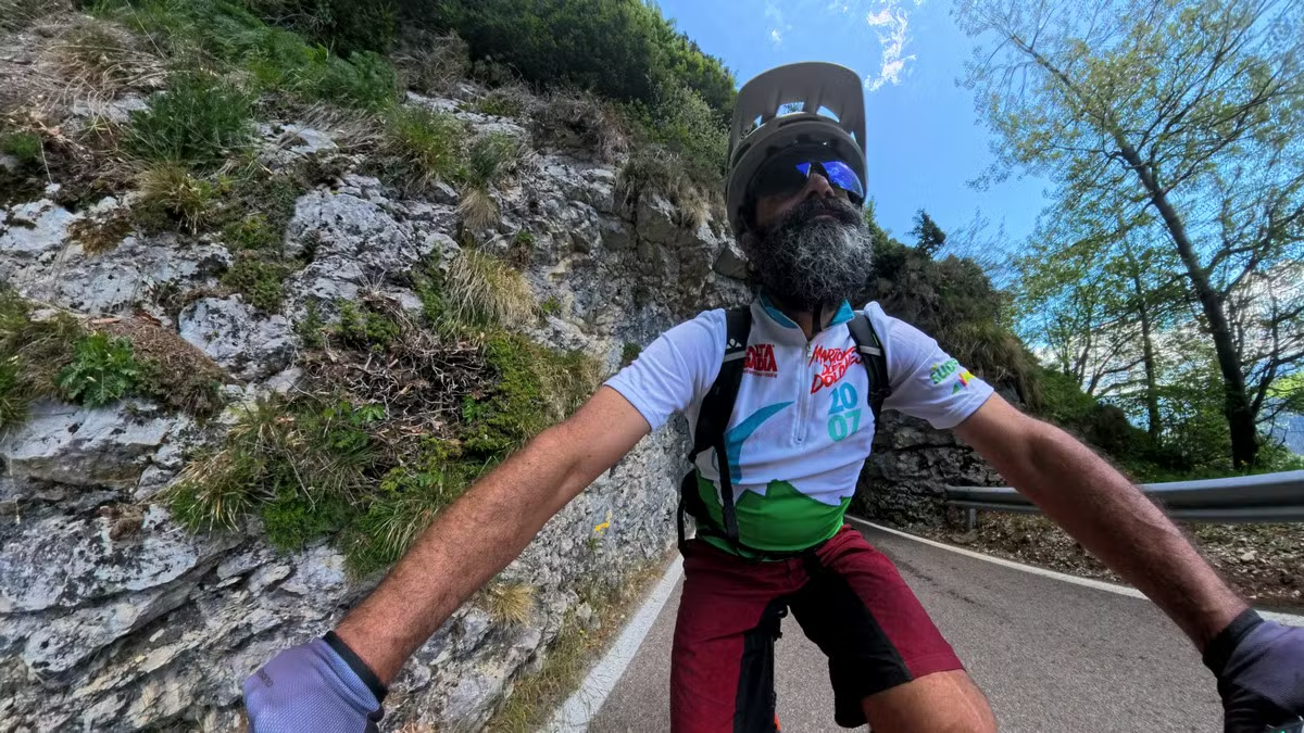
From the San Valentino Pass, the surrounding environment changes radically, taking on the harsh features of the high mountains. A striking and spectacular section carved directly into the rock precedes a dirt track heading straight towards Malga Bes. From this point, you detour upward again along a ramp that is brutally steep in places, putting the rear tire's traction to the test, until you reach the Rifugio Graziani.
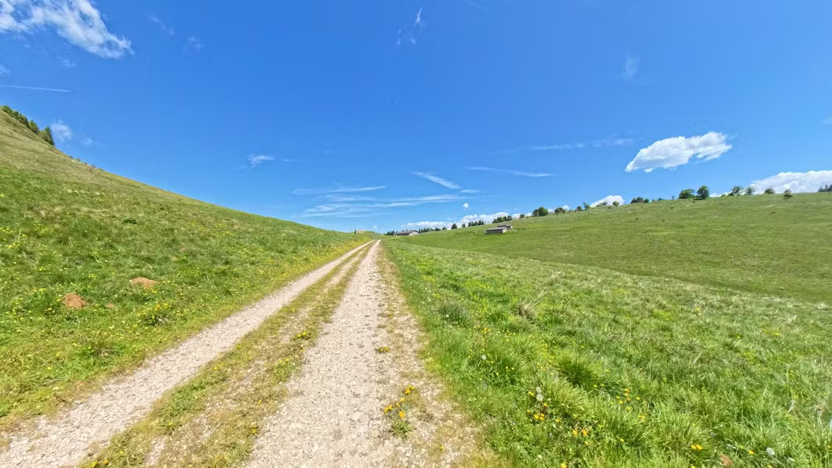
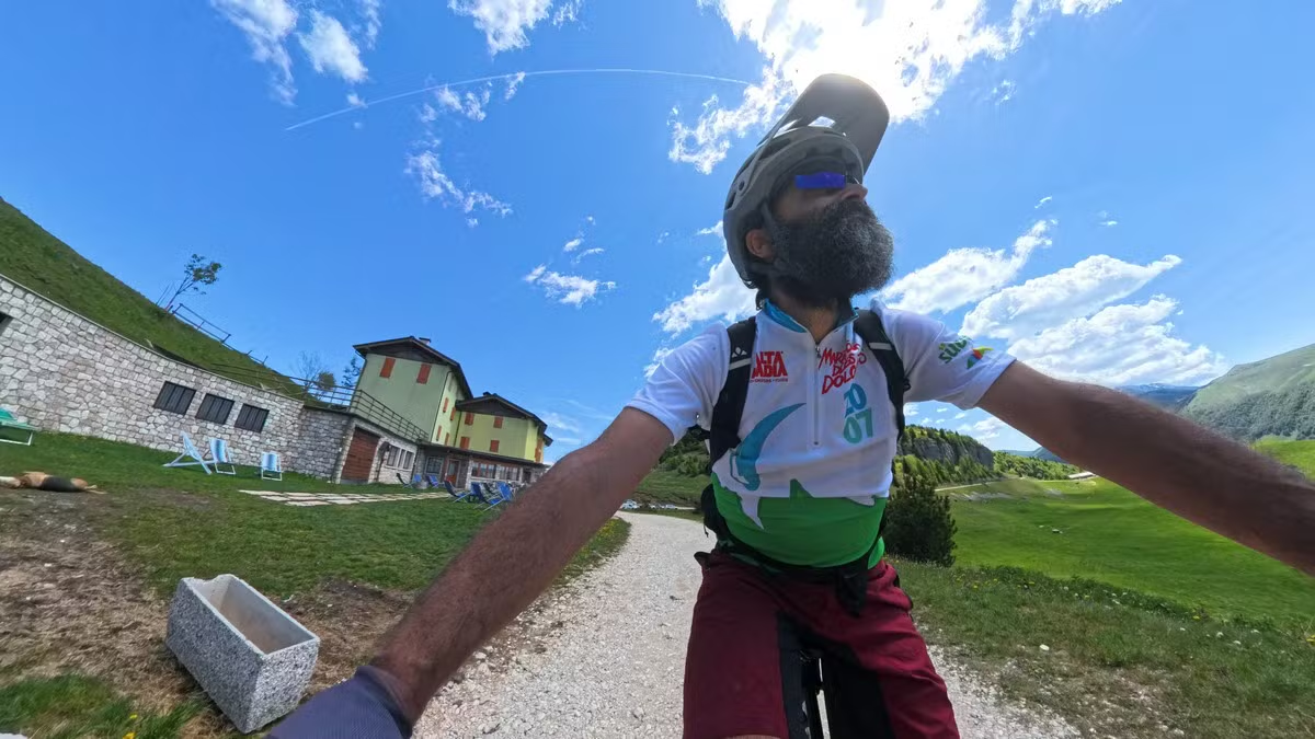
Here begins the most iconic and thrilling part of the entire excursion: the famous military road from the First World War. This consists of four kilometers of climbing on a dirt surface, constantly exposed and boasting incredible engineering value. The gradient is steady, but the terrain requires constant energy. Kilometer after kilometer, the fatigue vanishes in front of the majesty of the surrounding landscape, until you reach the 2,060 meters of Rifugio Damiano Chiesa, located just below the summit of Monte Altissimo.
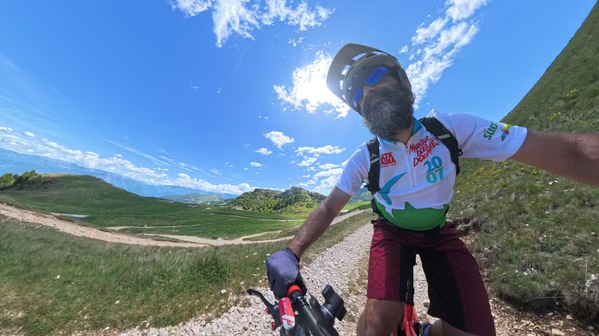
The Summit: A 360-Degree Panorama of Northern Italy
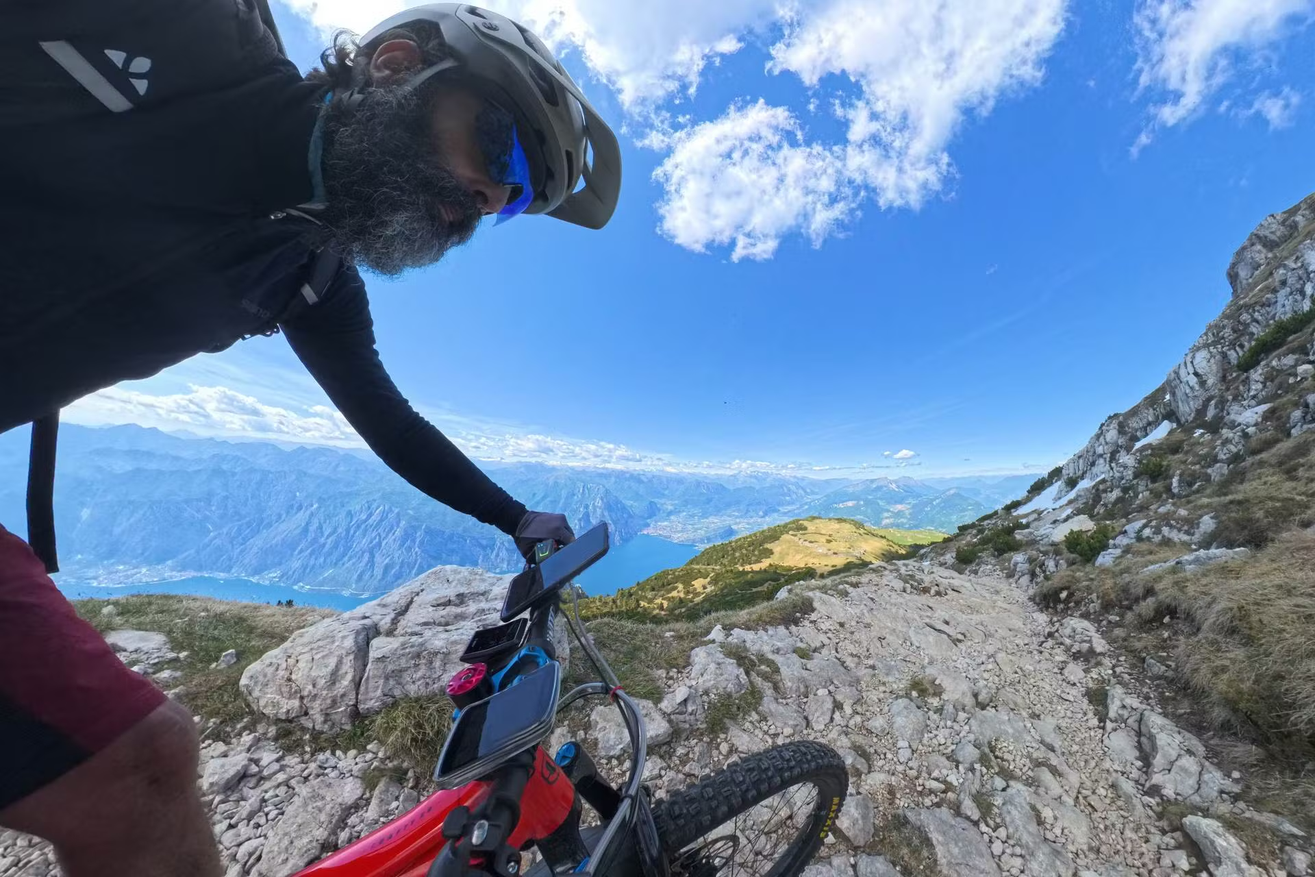
Once you reach the mountain hut, it is a must to make the final effort on foot or in the saddle to conquer the actual peak of the mountain, located right behind the structure. From this exceptional natural balcony, the view over Lake Garda literally takes your breath away: the body of water looks like a deep fjord wedged between the rocks.
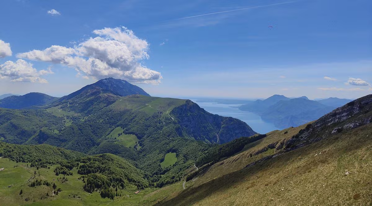
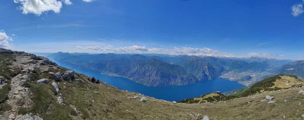
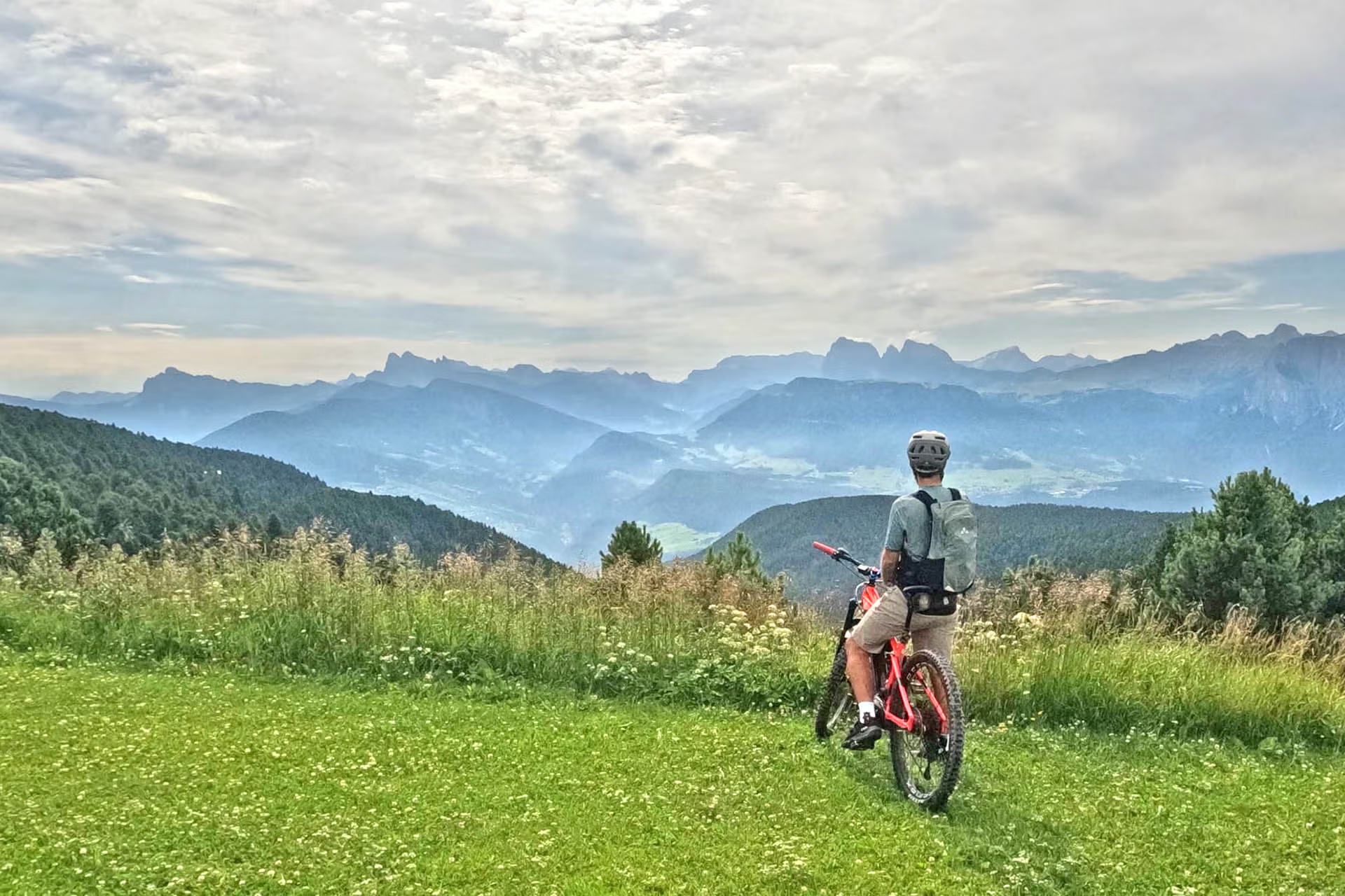
To the north, the gaze roams freely from Garda Trentino to the snow-capped peaks of Adamello and the majestic Brenta Dolomites. Turning your eyes south, on the clearest days, the horizon stretches as far as the Sirmione peninsula, the morainic hills, and the vastness of the Po Valley. It is the perfect moment to take photos and recharge your energy before the descent.
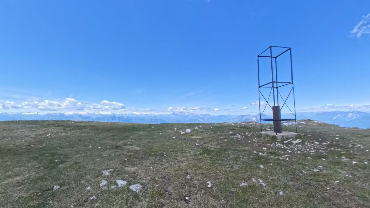
The Technical Descent: From Trail 601 to Val del Diaol
If the climb required legs and motor, the descent demands concentration and riding technique. The return starts severely right away along the infamous 601 trail. Being a very rough and vertical singletrack, the less experienced and technical riders (including myself) will have to tackle it on foot until reaching Monte Varagna. This is about 1km of descent, partly rideable and partly reserved for the most skilled.
To avoid the most extreme part of the 601, which is reserved for pure downhillers and expert enduro riders, the itinerary detours to the right, following another itinerary that climbs from Arco and heading towards Malga Campei, another splendid stop where the Adige Valley and Monte Stivo offer a final warm panoramic farewell.
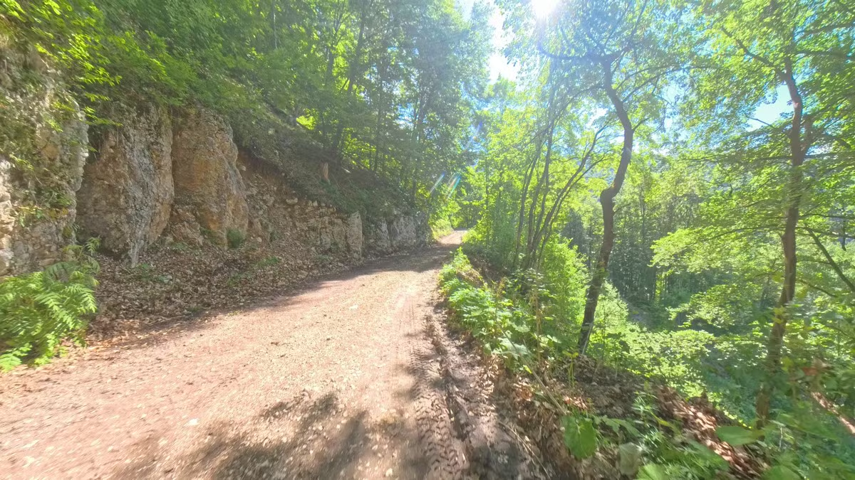
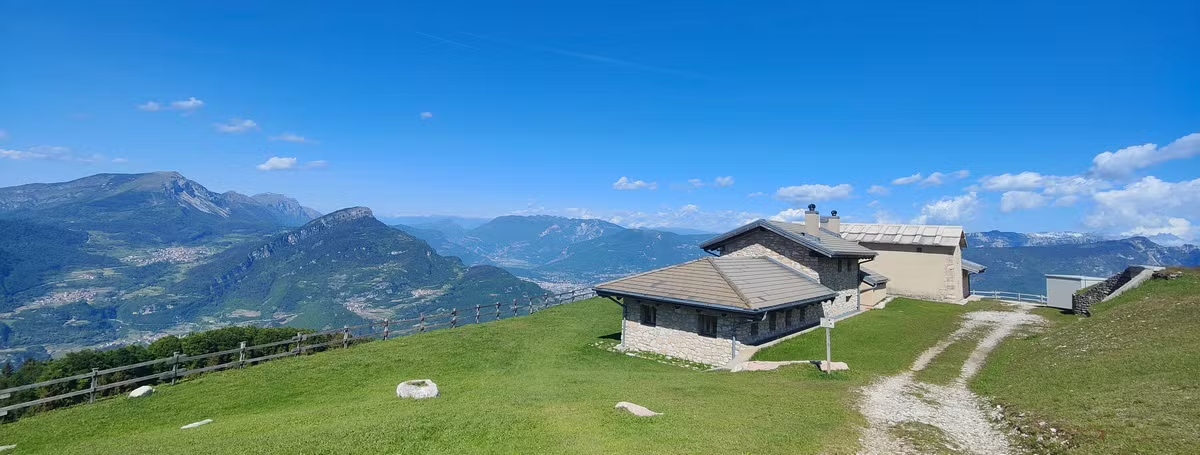
From Malga Campei, a breathtaking plunge begins on a mixed surface of concrete and fast gravel, broken up by a short, leg-breaking climb. The grand finale is reserved for adrenaline lovers: the entrance to the last technical stretch on the legendary Val del Diaol trail (Devil's Valley), one of the most famous downhill and freeride tracks in Europe, tackled here in its accessible segments. Loose rocks, roots, and steep gradients demand maximum control of the bike.
The village of Nago finally marks the conclusion of the technical difficulties. From here, to return to the starting point in Torbole, you can choose to descend while relaxing through the scenic Busatte area or by taking advantage of the new and safe bike path, thus concluding an epic loop destined to remain among your finest cycling memories.