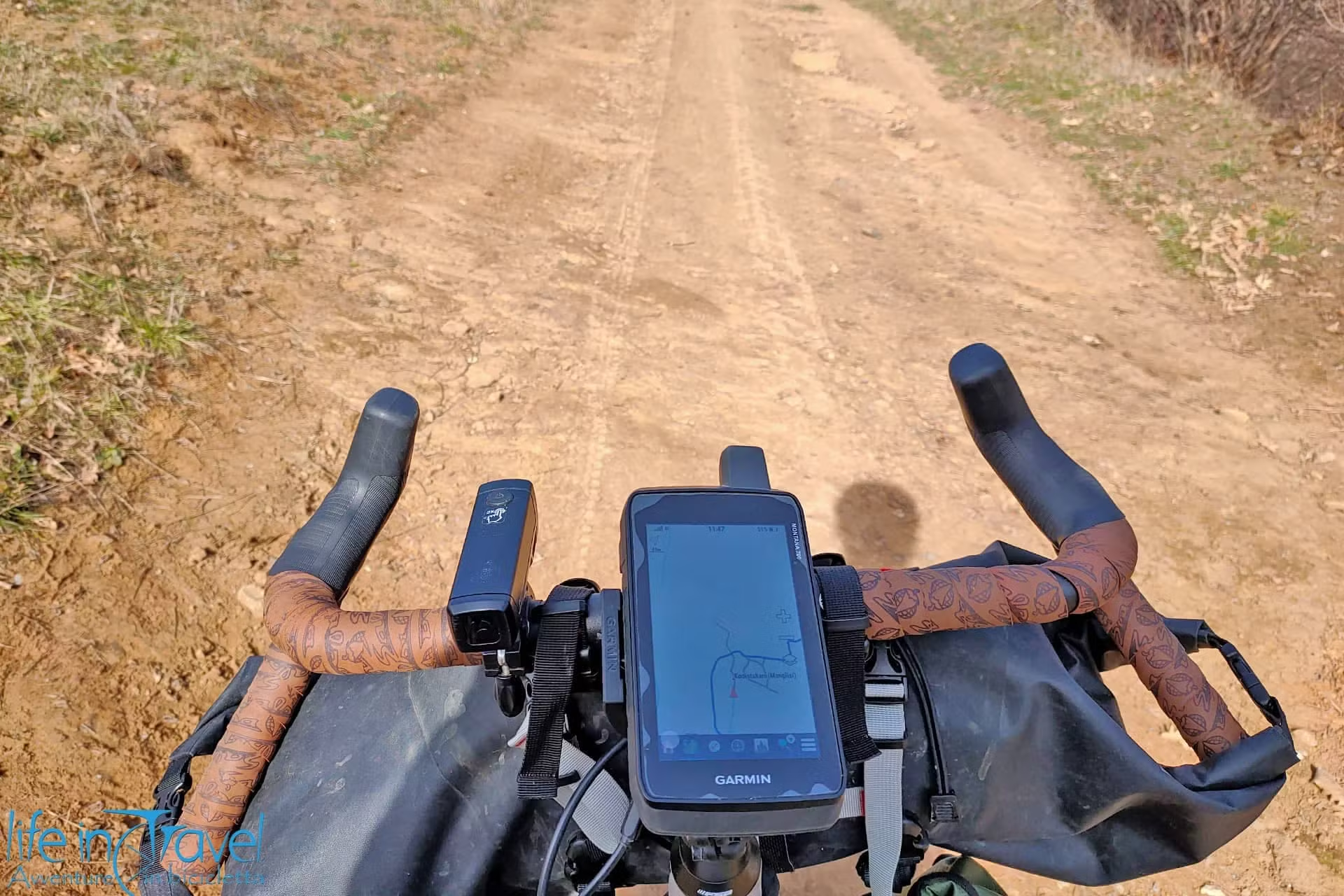
Our latest purchase in terms of technology dedicated to bicycle touring and cycling is the Garmin Montana 700, heir to the model we previously owned (Montana 600). After a few months of use and especially after about a month of travel, we can only express a not very positive opinion, especially in terms of quality/price, on this device. But there are some weaknesses which shouldn't be there...
In this article
Below you will find a personal review of the Garmin Montana 700 after a few months of use, both on Lake Iseo where we live, and while traveling during #backtothewest. In absolute terms, the Garmin Montana 700 is a decent product, but given the price, I would say I would have expected much, much better! We bought this device after our more than positive experience with the Garmin Montana 600 predecessor.
This review is a little more concise and less orthodox than the usual ones you are used to reading on Life in Travel because I preferred to share personal impressions immediately, without waiting for the time to write details and technical information that I generally prefer to include in a complete review. 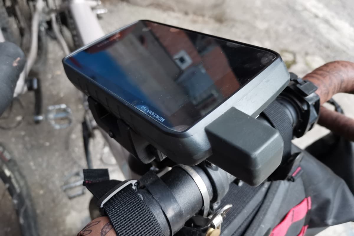
Garmin Montana 700: technical features
Being traveling and not wanting to spend too much time entering information that I consider very useful, but which can also be easily found on other sites, I refer you to the official page of the Garmin Montana 700 to read the technical characteristics of this device. In the future, I will update the article by inserting the aforementioned characteristics here.
GPS reception and altimeter: so and so...
The reception of the Garmin Montana 700 is based on multiple satellite systems: GPS, Glonass, and Galileo. This should ensure excellent accuracy and the presence of an external antenna indicates a clear improvement in this regard. Indeed, apart from one occasion crossing a fairly narrow canyon, we did not have any particular positioning defects during the trip. Reception speed has never been a problem for us and even if we leave the device switched on in the morning for an extra minute before leaving, it doesn't change our lives.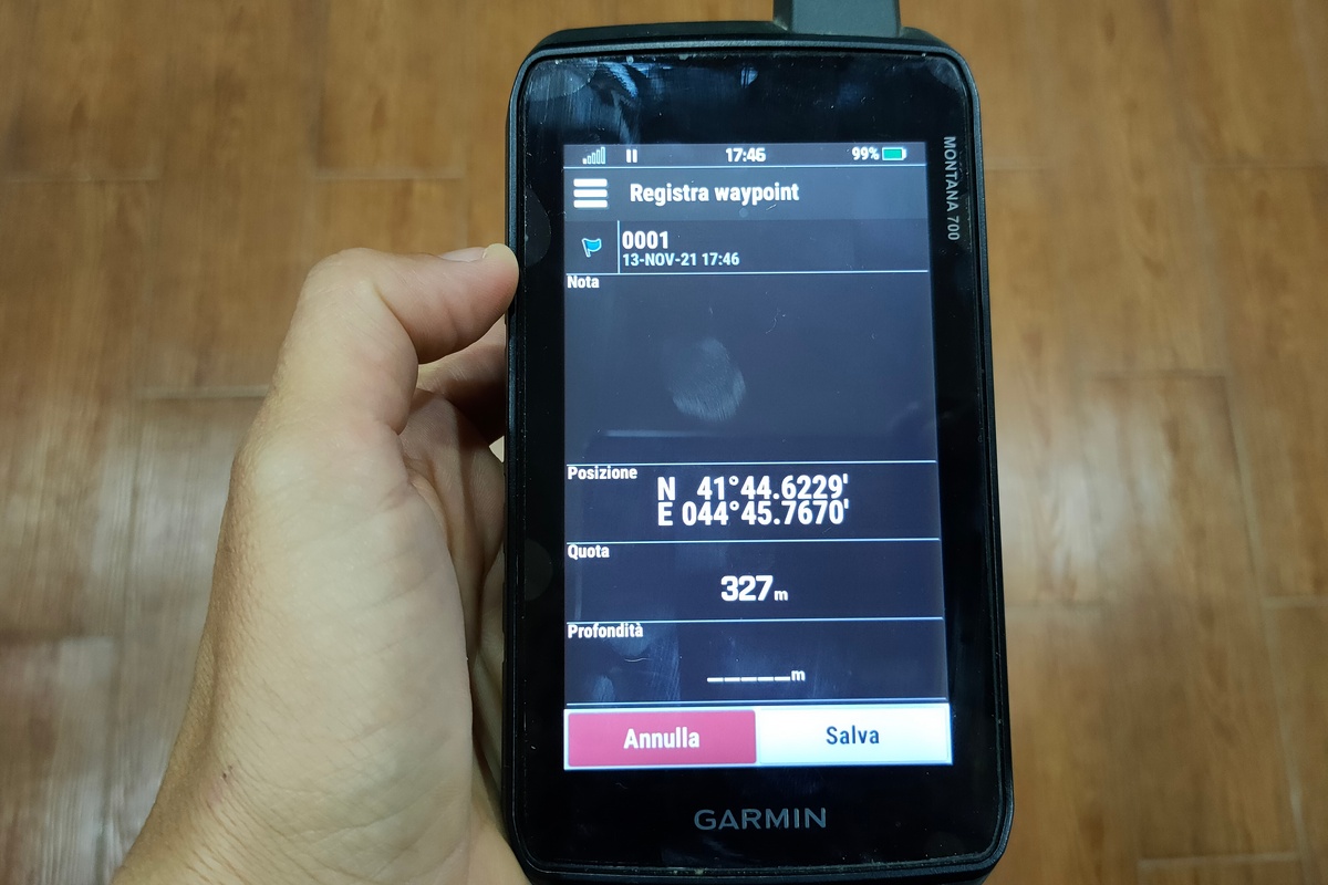
But the joys end there! The problems showed up with the altimeter. Although we had calibrated it at the departure from Poti every morning, when we woke up during the journey, we noticed a discrepancy of tens and often hundreds of meters with reality. The stable weather and ideal weather conditions did not justify such a mistake. So every morning we are forced to re-set the correct altitude based on our knowledge and on the level lines of the maps. The height differences indicated at the end of the day seem to be more or less correct.
Connectivity, what a pain! (SOLVED WITH AN UPDATE)
Another innovation compared to the model we had previously is the ability to connect the device via Bluetooth and wifi to phones and PCs without the need to use cables. This is one of the features that attracted us the most compared to other cheaper devices.
Too bad we have never been able to use Bluetooth and the wifi is activated only when it wants! The connection does not work with any of our phones and when we try to access the aforementioned functionality, the pairing does not activate. The connection with the phone, via Garmin Connect, to upload and download tracks in progress is, therefore, a feature that has never worked and this is one of the biggest disappointments of this device.
Unfortunately, even those interested in following our tracks lose out: they will have to wait for the end of our path to be able to download them????!
Update December 2021!
At the end of November, we received a notification on the device, connected to the PC, to carry out a software update. After following the update installation procedure, uninstalling and reinstalling the Garmin Connect app, and redoing the pairing between our smartphone and Garmin Montana 700... attention, we were able to connect with Bluetooth, download the GPS tracks, and upload the ones programmed on Komoot for the next rides!

Software and speed: all good!
Fortunately, there are positives too. The software is little different from that present on the Garmin Montana 600 but it was already excellent and intuitive. Navigation is enhanced with bottom-to-screen mapping, with keys to switch from data functionality to screen or settings. In addition, the speed of the software is significantly improved compared to previous models: the passage from one screen to another, the operations of loading tracks or saving data are fast and efficient.
Reactive and visible touch screen
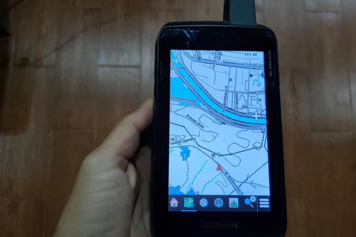
A positive point of this Garmin Montana 700 is the screen. 5 inches are a lot and if on the one hand they make the device bulky and a little uncomfortable to carry by hand, on the other hand they guarantee a large and visible screen. Among other things, once the Garmin is placed in its housing on the handlebar, for us travelers who care less about light weight, it changes little from the point of view of size and comfort to have a small 2" cycle computer or a larger one, while it makes a big difference to see a large portion of the map with decent scale.
A sore point in this regard: in the package of a product that costs € 600 no accessories are included and the stem is to be purchased separately and costs almost € 50.

Conclusions
Let's wrap up this brief review of the Montana Garmin 700 and make an overall assessment. Let me be clear: this is my personal opinion based on our needs and our experiences. Until now I had always found myself comfortable with devices from the American company which, however, evidently sat on the laurels of a de facto monopoly between GPS devices for cycling and for the outdoors. I also want to clarify that at the time of writing I have not yet contacted Garmin assistance because I am traveling and therefore I cannot give an opinion on this aspect and on the possible willingness to solve the company's problems.
We have decided to make a substantial investment on this Garmin Montana 700 given the previous positive experience with the 600 and once we are done we are not completely dissatisfied with the purchase. Of course, however, for the amount spent we expected a device that was ready "out of the box" in all its components and functions. We did not expect a very inaccurate altimeter and an enormous difficulty, to the point of making us give up its use, of Bluetooth connectivity.
On balance, without being able to count on these functions, the Garmin Montana 700 remains a good model especially for the large screen and the speed of the software, but certainly not worth the price paid.