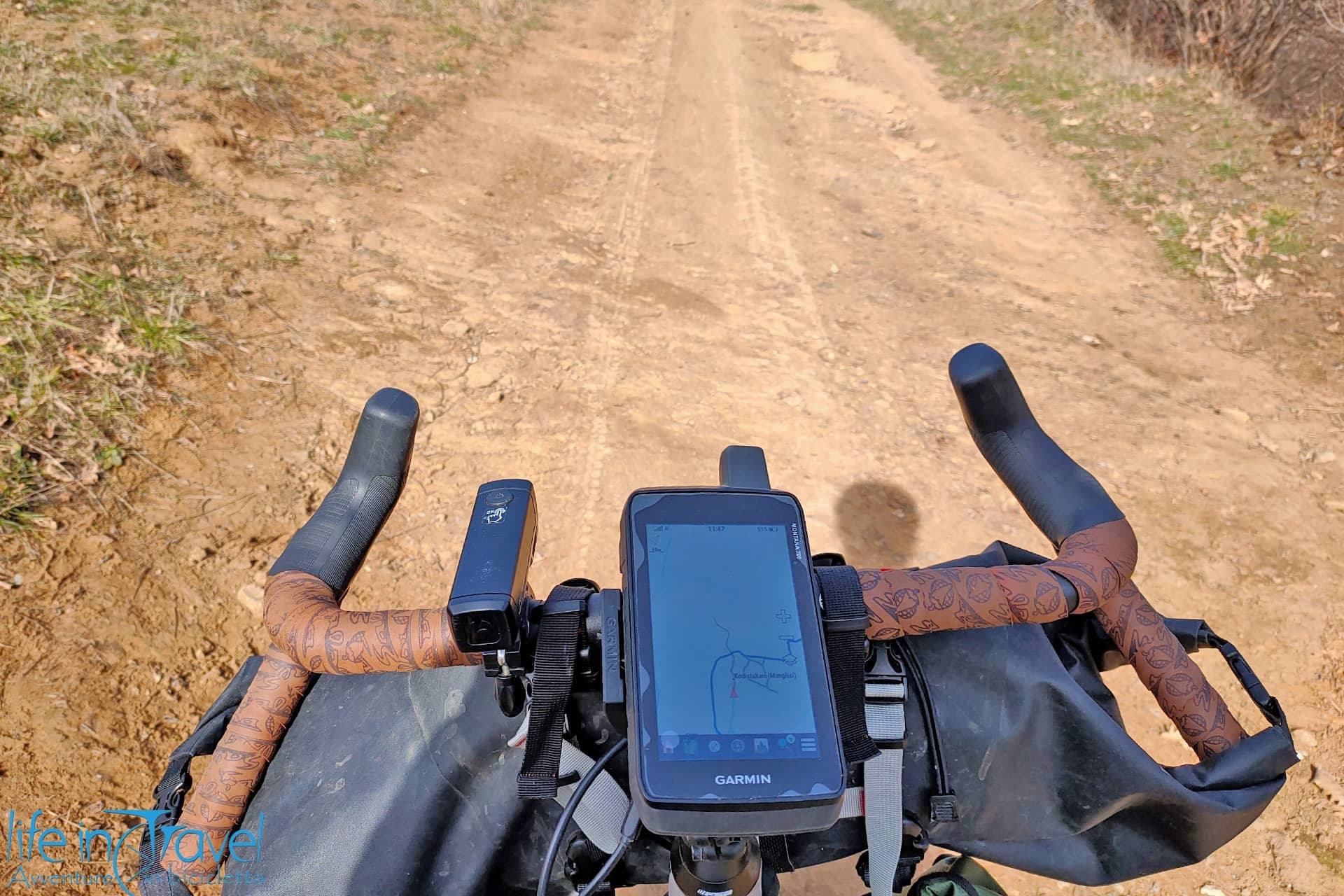
Editing a GPS track can be useful for many reasons: merging routes found on the web to define an itinerary you want to travel, creating and viewing altimetry of a specific route, reversing the direction of travel, splitting a trip by bike into multiple stages, creating points of interest or even creating a track from scratch... well, the management possibilities of GPS files (whether GPX, KML or any other useful format) is, nowadays, wide and varied. Often though during my researches on the web I find it hard to find a complete overview of free software to edit the GPS tracks therefore hereafter I grouped some software that I recommend based on my experience.
Below you find a list of 7 free software I used or I use to edit the GPS tracks of my excursions or trips. Before listing them, however, I suggest that you take a look at all the articles already written on our website relating to technology and specifically to navigation & cartography! Fine, now let’s see what, in my opinion, are the best free software to edit GPS tracks:
Google Earth
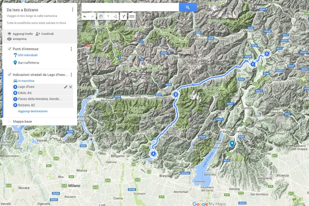
The most experienced ones will turn up their nose! Sure, Google Earth isn’t the best editor of GPS tracks. If you want something more complete, continue reading some other software. I personally find Google Earth useful to get an overview of the route created or downloaded but also to modify the details of the route itself adding points of interest, modifying the description and colour of the track. In addition, it’s very convenient to open and convert a GPX file to the KML format, that is what I use for the visualization on the maps on the website.

QLandkarte - QMapShack
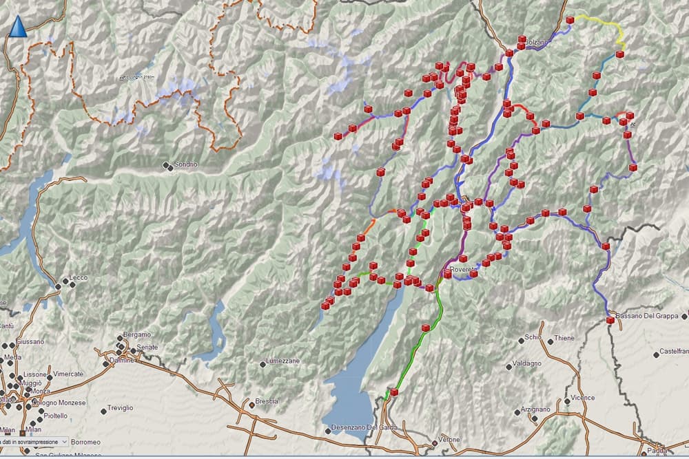
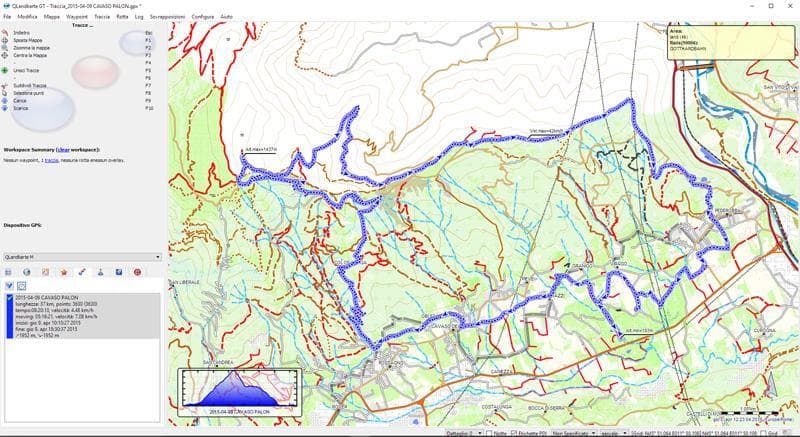
One of the first software I started using frequently and one of those I still use is Qlandkarte GT. Rather intuitive and quick, it’s useful to edit your own GPS tracks: the graphic outlook isn’t extraordinary, but its functions are remarkable even if after using it for a long time some gaps have emerged. Recently QLandkarte hasn’t been updated any longer and in its place, a new software, QMapShack, has been developed. I didn’t have the opportunity to test it fully but by a quick glance, it seems again a good software, more modern and with updated features to fill the clear flaws that in some cases its predecessor showed. Given the reliability of the developers, I’m sure that QMapShack will not disappoint me as soon as I will deepen my knowledge about it.
BaseCamp
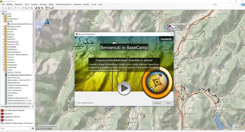
I believe it is the most known and used software for planning your own excursions by bike, on foot or outdoor. It’s been developed by Garmin and this is a guarantee (but it can also be a limit!). Complete and intuitive, I use it very often. You can create tracks, upload free maps like OSM or others, it is possible to connect directly to your Garmin GPS device to upload or download tracks and much more. There are some defects but also in this case they are easily fixed using other online services or software together with Basecamp.
GPSPrune
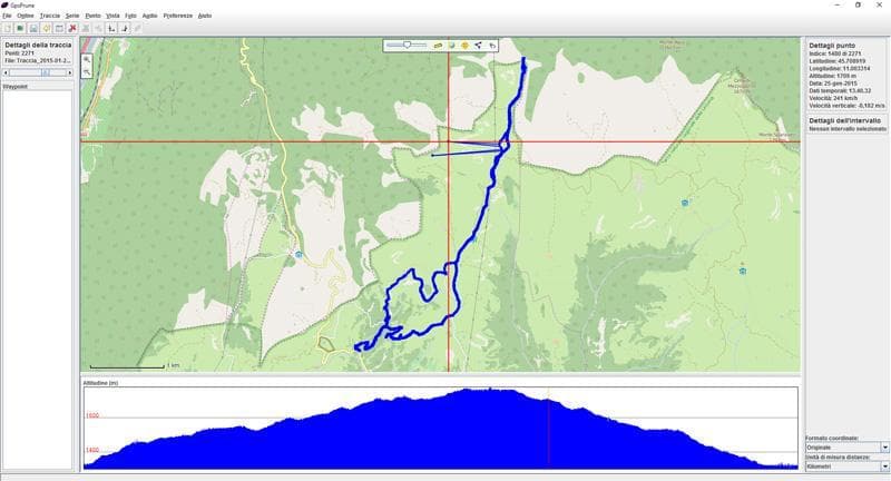
Another useful software to modify GPS files once you've finished your excursion or your trip is GPSPrune. The advantage, in this case, is that there is no program to install: you have to download a JAR file that works as Java application (usually already installed for many other features on your computer). Quick and intuitive, the other side of the coin is that it’s almost mandatory to have an Internet connection to use GPSPrune: but modifying the GPS is really intuitive, especially if you have to move track points.
RouteConverter
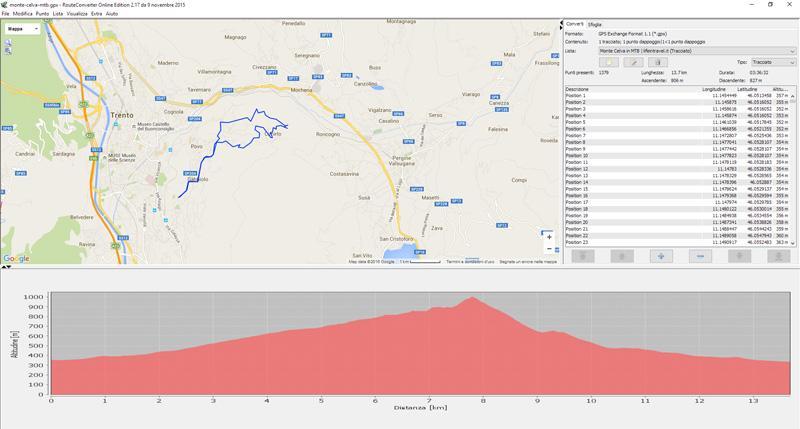
A quick, lightweight, but interesting software. You can download the executable file, which does not require installation, directly on your computer or make use of the Java application from the web. The possible operations are basic but convenient and easy. Deleting points, dividing or merging tracks, viewing google maps, osm and other maps... The sidebar allows to move from one track and point of interest to another and view your own data while the main screen is divided between map and altimetry of the route. For those who don’t need any frills, this program could be a great starting point.
GPS Track Editor
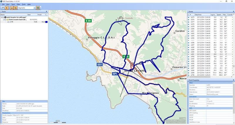
Another software I have used sometimes is GPS Track Editor. In this case, it is necessary to install the program on your computer. The maps use OSM data (open cycle map, mapquest, OpenStreetMap...). In this case, the possible operations are basic, from track inversion to modification of the points (shifting, deleting...). As for the previous programs, also this one could be a good starting point for those who want to start to modify their GPS tracks.
These are just some of the many free software to edit your GPS tracks. What about you? Let us know what you think is the best app/software to plan bike journeys!


